Friday & the weekend: Turning warmer and more unsettled
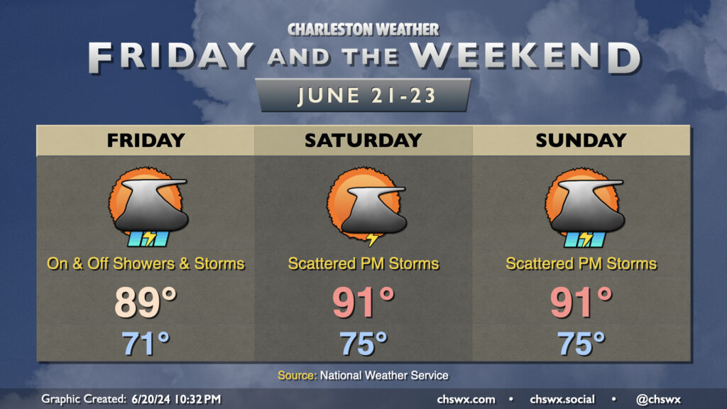
Humid days are here again: tropical moisture associated with a disturbance (which might become a tropical depression before coming ashore in Georgia tomorrow) will overspread the area, with showers and a few thunderstorms expected for a fair bit of the day as a result. It won’t rain all day at any one location — the rain will generally be off and on and be moving fairly quickly — so generally expect a half-inch of rain in most spots. A few locations could see locally heavier rainfall in the wetter storms. Thankfully, severe weather and flooding don’t appear to be major issues this go-around. Temperatures start in the low 70s, warming to the upper 80s between storms. It’ll be a muggy day as dewpoints surge into the low 70s by morning, with heat indices in the mid-90s expected.
High pressure gets into a typical summertime configuration starting Saturday, and we’ll definitely be feeling it as lows bottom out only in the mid-70s. The 90s return Saturday afternoon and will have some staying power through the weekend and well into next week, too. Showers and thunderstorms will be possible each afternoon along and ahead of the seabreeze, with locally heavy rain possible but severe weather generally not expected. Just be ready to bring outdoor activities inside if a thunderstorm approaches your location.