Rest of the work week: Still hot, still humid, and occasionally stormy
Heat and humidity continue for the rest of the week, with advisory-level heat indices remaining a distinct possibility, broken up only by isolated to scattered afternoon and early evening thunderstorms.
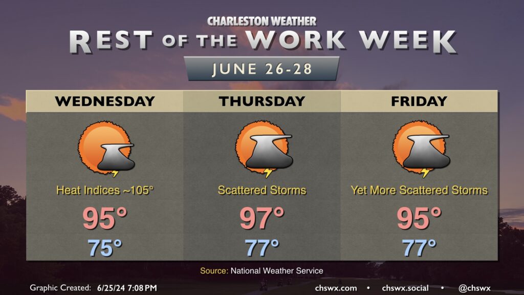
We’re back into the mid-90s Wednesday after a mid-70s start. Heat indices in the mid-100s will be common, with higher values possible closer to the coast where dewpoints will run a little higher. Don’t be surprised if another Heat Advisory comes out for Wednesday. A few of you could get lucky and get a thunderstorm to help cool things off, though the winds could be a bit strong at times in these. However, as is common with the summertime weather regime around here, widespread severe weather is not expected.
We’ll keep this going Thursday into Friday. Air temperatures peak on Thursday, topping out in the mid-to-upper 90s as winds go a little more westerly through about 5,000 feet. Once again, isolated to scattered showers and thunderstorms are possible in the afternoon as convective temperatures are reached and the seabreeze makes a slow push inland. Expect similar conditions Friday, with highs once again topping out in the mid-90s after an upper 70s start, with just a few showers and thunderstorms perhaps imparting relief.