Unsettled at times this weekend, but not a total loss
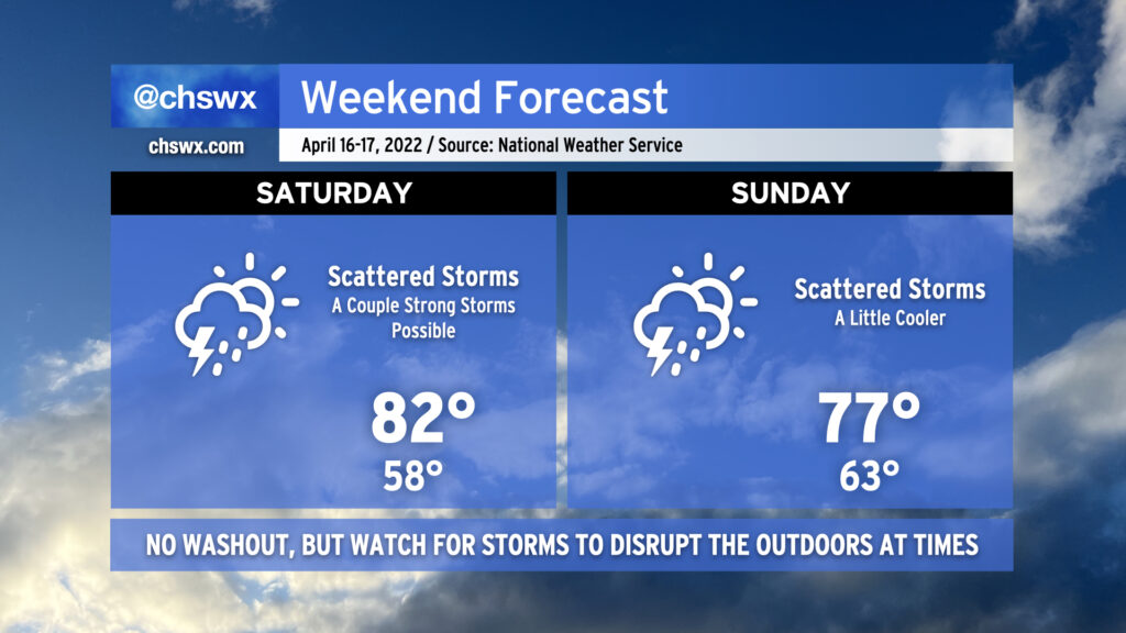
After a gorgeous (if not a bit windy) Friday, a warm front will lift northward across the area on Saturday, bringing warm and moist air back into the picture. This will be the fuel needed for some scattered showers and thunderstorms as a disturbance aloft ripples through the area and helps to kick off and sustain storms in conjunction with an inland-moving seabreeze. A couple storms could be on the strong side with gusty winds and hail, so keep an eye out if you have outdoor activities. A widespread severe weather event is not anticipated, though.
Temperatures on Saturday start in the upper 50s but rebound well into the low 80s after the warm front moves by.
Sunday will continue to feature scattered storm chances as upper-level energy continues to move through the area and a front stalls out nearby. We’ll run a touch cooler behind the backdoor front, with highs topping out in the mid-to-upper 70s. A continued feed of moisture will allow the stronger storms to produce a heavy rain threat, which could lead to some minor flooding in poorly-drained and low-lying areas.
Even without rain, evening high tides will get high enough to cause some minor coastal flooding through early next week. Any rain on top of that would not be great, so we’ll want to keep a close eye on things.
Expect similar conditions on Monday with improving weather starting Tuesday into much of the rest of the next work week.