Severe thunderstorms with damaging wind gusts, maybe a tornado possible this evening

As advertised for the last several days, a severe weather event is possible primarily late this afternoon into tonight as a strong cold front drives a squall line through the area. This line could pack damaging wind gusts, with the potential for a tornado or two on the leading edge of the line.
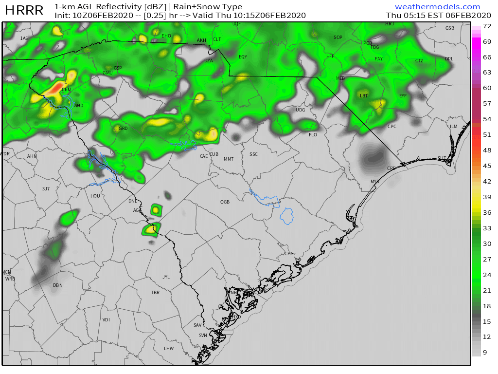
Severe weather outlook

Overnight, the Storm Prediction Center upgraded much of the state, including the Lowcountry, to an Enhanced Risk area in its severe weather outlook. This indicates decent confidence in severe weather — in this case, scattered wind damage — across the risk area.

It appears the greatest risk for the most widespread wind damage will run roughly along and west of I-95 in SC, as this lines up well with where the best instability and wind energy will coincide. Elsewhere, the damaging wind risk has increased as well, owing to increased confidence in the system’s strength as it pushes eastward. Take this morning to bring in loose items.

Low-level wind shear will be sufficient for the line to potentially produce some brief tornadoes at its leading edge. The tornado chance is relatively low, but still worth watching given the extensive wind energy aloft.
One potential wild card to watch will be whether storms can fire up ahead of the line. If instability can get going, wind shear will be more than sufficient for the strongest storms to organize into supercells with a risk of wind damage and tornadoes. As with the wind damage threat, I would expect the greatest risk of this happening to lie along and west of I-95. It’s not a done deal by any stretch, but it is a trend that will be watched closely today.
The other wild card for tornadoes (and, for that matter, the overall severe threat) is the impact of the cooler, more stable marine layer on these storms. Typically, we see lines of storms like this weaken as they head toward the coast thanks to the ingestion of more stable air thanks to upper 50s-low 60s water temperatures. It remains to be seen whether the wind energy aloft will overcome this.
What to expect
Much of today should be rather windy as the enhanced wind field overspreads the area. As the day goes on, we could see gusts 30-40 MPH in spots outside of thunderstorms, especially near the coast, making for tricky bridge driving.
Showers could break out ahead of the line as well. Keep rain gear nearby throughout the day. (Showers would be really nice to help defuse a more widespread severe weather threat.)
It’s going to be warm and muggy, feeling more spring-like than not with highs in the mid-70s.
The line of thunderstorms will congeal to the west mid-afternoon, making a run for the most inland areas (St. George, Lake Marion, Lake Moultrie) possibly as soon as 4PM, but more likely closer to 5-7 PM. From there, the line will push eastward across the Tri-County area, clearing the coast by midnight at the latest.
Strong wind gusts may down trees and power lines. Be ready for sporadic to scattered power outages; have flashlights at the ready as much of this will happen after dark.
Watches vs. Warnings
Expect a tornado watch to be expanded into the area this afternoon. Remember, a tornado watch means conditions are favorable for severe thunderstorms that could produce tornadoes, but they may not have formed just yet. A warning means severe weather is occurring, and you should take shelter from the storm until the warning ends. Safe shelter today will be the lowest floor of your home or building in an interior room away from windows. This is especially important if a tornado warning is issued. Mobile homes are not safe in these conditions. If you live in a mobile home, make sure you know where your nearest site-built structure is and be ready to move there at a moment’s notice.
It’s worth noting that with these kinds of squall line events, tornadoes can pop up very quickly and dissipate just as fast. These are hard to warn for! So, a Severe Thunderstorm Warning will be an important signal to move to a safe place today. Be ready to shelter quickly if warnings are issued.
I’ll have updates as needed throughout the day here and on social. Stay alert throughout the day to changing conditions, and be sure you’re receiving watches and warnings from the National Weather Service.
Follow my Charleston Weather updates on Mastodon, Bluesky, Instagram, Facebook, or directly in a feed reader. Do you like what you see here? Please consider supporting my independent, hype-averse weather journalism and become a supporter on Patreon for a broader look at all things #chswx!