Severe weather threat tapers off, but heavy rainfall still possible

As many of us had hoped for, the risk for severe weather was overtaken by stable, steady rain moving in across the Lowcountry this afternoon. There are still some rumbles of thunder, and certainly some decent rainfall in spots, but the risk for damaging wind gusts and tornadoes has ended in the Lowcountry.
Heavy rainfall remains possible
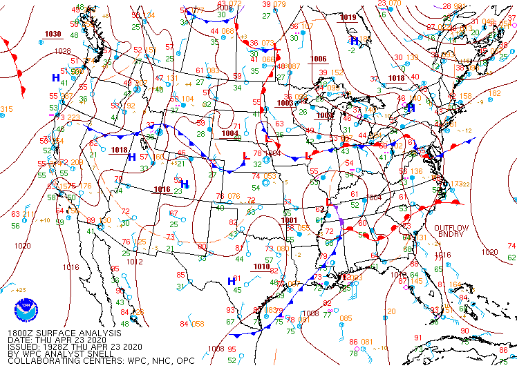
The warm front has moved north of the area this afternoon, but the persistent rainfall and (likely) disruption of moisture transport from severe storms in southern Georgia has put the severe weather risk to bed.
One threat that hasn’t waned is the risk for heavy rainfall; as I write this, a Flood Advisory has been issued until 7PM. So far, radar rainfall estimates across the area are generally a couple tenths of an inch, but this will change as heavier rain pushes onshore over the next few hours. We’ll keep the risk for heavy rainfall in place through tonight.
Of note: High tide comes up at 9:17 PM, and this will want to be watched carefully for an additional flooding threat.
Improving weather tomorrow

Rain will taper off during the morning hours on Friday, leaving us with partly cloudy skies and fairly warm temperatures as the front stalls just offshore. Said front will lift back into the area on Saturday and reintroduce a chance of showers and thunderstorms into the forecast before everything clears the area Sunday.
Follow my Charleston Weather updates on Mastodon, Bluesky, Instagram, Facebook, or directly in a feed reader. Do you like what you see here? Please consider supporting my independent, hype-averse weather journalism and become a supporter on Patreon for a broader look at all things #chswx!