Sunday: Approaching another record high, then storms for this evening
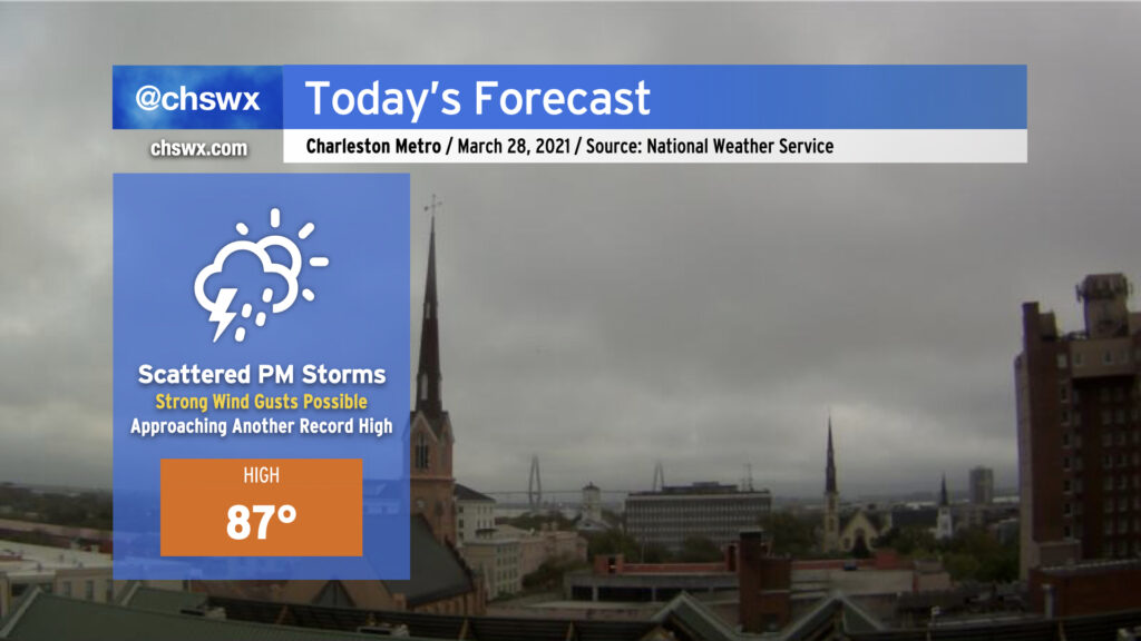
After two days of record warmth, we look once again to approach record highs ahead of a cold front. The NWS forecast high of 87° is one degree off the record of 88° set in 2017 — it’ll be close.
We are already seeing a few downpours pop off in the I-95 corridor near St. George and Holly Hill this morning. However, the better rain chances arrive this afternoon and evening as a line of thunderstorms ahead of a cold front approaches the area. I’d expect thunderstorms to be approaching the I-95 corridor around 4-6 PM, with the line — perhaps in a more broken, weakened state — moving through the Charleston metro area by early to mid-evening. Our risk for severe weather today is low, but not necessarily zero, as a couple storms could still produce damaging wind gusts as they move by (especially if they arrive early enough to interact with the seabreeze circulation). Water temperatures remain generally in the mid-60s, which should lend a stabilizing influence as the storms approach the coast.
As always, keep an eye on forecast updates throughout the day as arrival time estimates are fine-tuned and we see how trends evolve with the strength of these storms.