Warm day yields to scattered showers and storms this afternoon; heavy rain, flooding possible
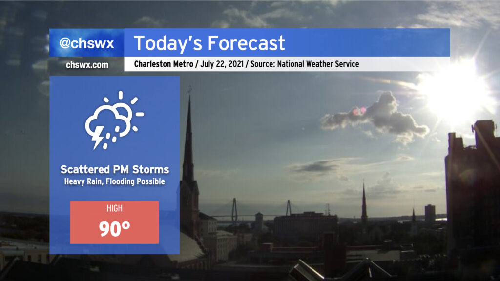
We start this Thursday with temperatures already approaching 80° as of 8am. Highs around 90° look to be common before showers and thunderstorms erupt this afternoon.
Today’s setup could portend a flooding event in downtown Charleston this afternoon and evening. Westerly winds look to pin the seabreeze closer to the coast, and with a front advancing from the north, there will be numerous focal points for showers and thunderstorms to develop. Atmospheric moisture is readily available, with precipitable water values running over 2″ once again today (anything 2″ or over generally requires more scrutiny for flooding). Finally, we are in a king tide period, and this morning’s thinking from NWS on tonight’s high tide is that it will fall just short of the 7′ level at which sunny-day salt water flooding typically begins. (It may yet be high enough, though, to begin to produce some flooding on Fishburne and Hagood.)
Guidance suggests that showers and thunderstorms generally should start to form between 1-3 PM. Storm motions will approach the coastline today, and with a seabreeze trying to push the opposite direction, this certainly invites concern about heavy rainfall stalling out for a period of time. The high-resolution model ensemble this morning once again paints a 30% chance of 3″ of rain in 3 hours across the metro area this evening, further lending credence to this concern. While this isn’t a slam dunk, it’s important to keep an eye on the weather today as impacts to the evening commute are certainly in the cards. More on this later today — stay tuned.