TUTT, TUTT: Looks like rain tonight into Wednesday
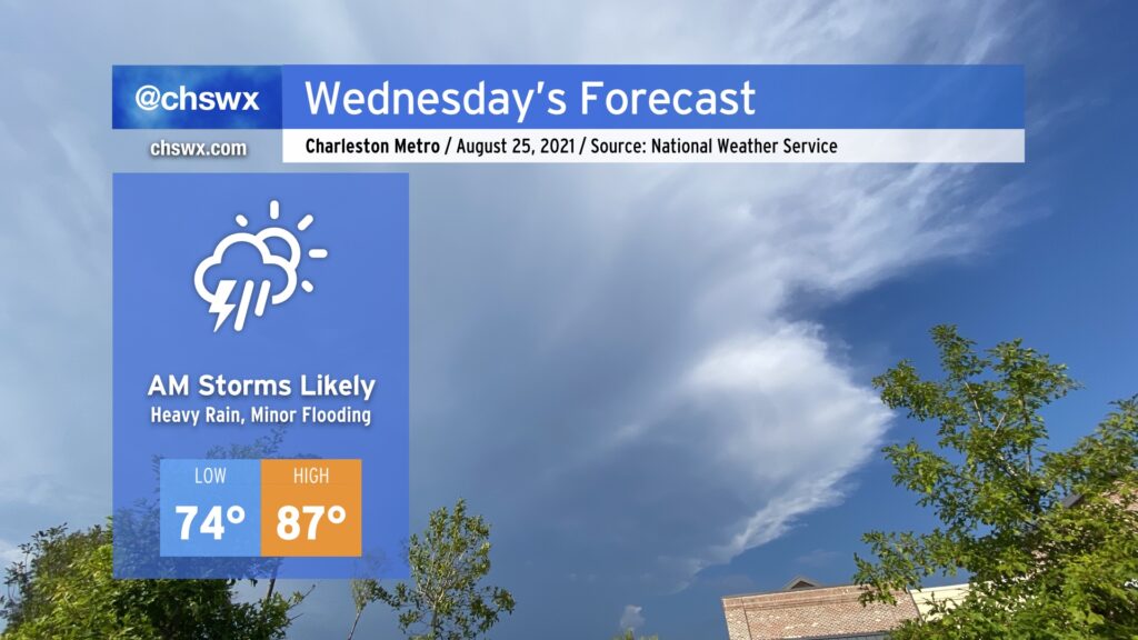
A tropical upper tropospheric trough — more commonly known as a TUTT low — will bring some unsettled weather into the area tonight into tomorrow morning as it moves westward across Florida and spins some energy and enhanced moisture our direction. The best risk for heavy rainfall in the morning will be along the coast. Rain could start to pick up quite early in the morning and be problematic through the commute. The good news is that much of it looks to fall around low tide, but minor flooding just cannot be ruled out given how soggy soils have become. By afternoon, the risk for showers and thunderstorms spreads inland.
Temperatures will top out in the upper 80s across the area in the afternoon. Mix that in with humidity, and you’ve once again got heat indices around 100° in the afternoon.
Rain chances turn a little more scattered Thursday into Friday and the weekend, but we’ll keep that summertime heat around with highs topping out in the upper 80s to around 90° each day.