Strong storms possible Thursday afternoon and evening, but uncertainty remains
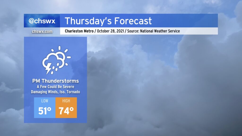
We’ll start Thursday much as we started today — a mix of sun and cloud cover with a bit of a chill in the air as lows bottom out in the low 50s. We look to end it with widespread rain with embedded thunderstorms, a few of which could be strong to severe, as a potent upper low and associated cold front approach the Lowcountry.
The severe weather threat on Thursday is certainly not a slam-dunk, but there are some concerning signals. First, there’s going to be plenty of wind energy available. A low-level jet of 55-65 MPH winds around 3,500 up looks to traverse the area in the afternoon and evening hours. This will help promote gusty winds throughout the day, even ahead of thunderstorms. Second, winds are veering with height, with southeasterly surface winds turning southerly and then southwesterly as you go up. This wind shear helps sustain thunderstorm updrafts and also can induce spin within stronger storms. Third, there is the potential for instability to spread into the area as a warm front passes by in the evening. However, instability is the biggest question mark given cloud cover and rain ahead of the storms, which often helps to tamp down on this “storm fuel” and, as a result, decreases the severe weather risk.
Ultimately, we will need to keep an eye on how things evolve tomorrow. If that instability does materialize as some of the guidance suggests it will, a few thunderstorms will be able to pull down some strong, potentially damaging winds. Given the spin in the atmosphere, a tornado or two is not out of the cards, either. Our best risk for severe weather appears timed between 4 and 10 PM, according to NWS, with the latter end of the timeline looking the most likely for SC. Stay weather-aware tomorrow and make sure you have multiple, redundant weather warning sources.