Blog

/ December 17, 2023 at 10:23 AM
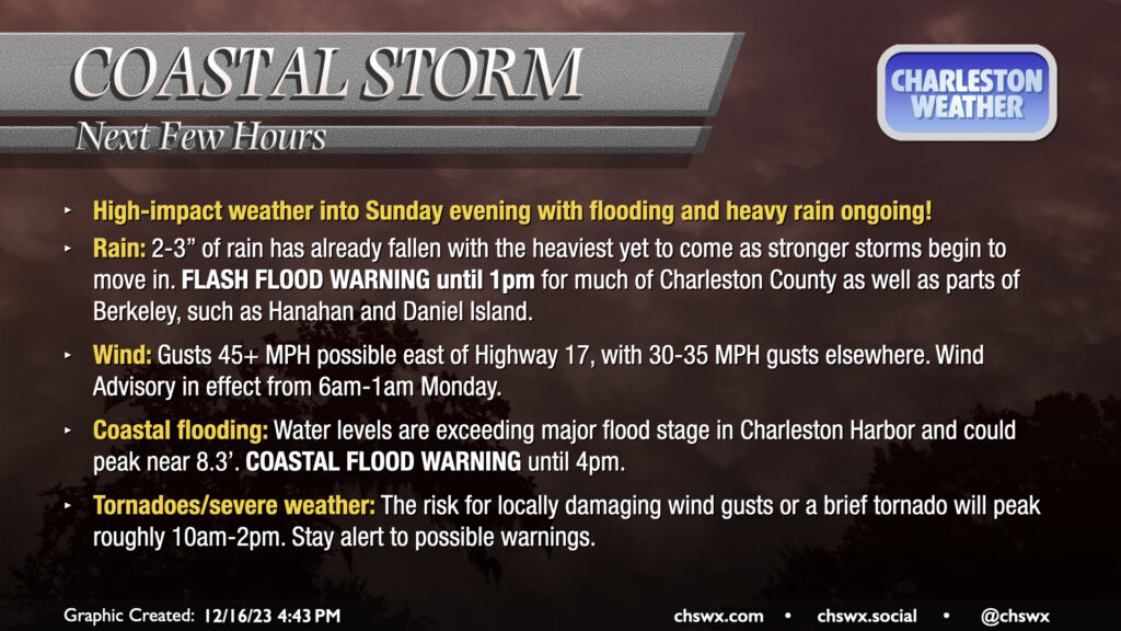
High-impact weather into Sunday evening with flooding and heavy rain ongoing!

Rain: 2-3” of rain has already fallen with the heaviest yet to come as stronger storms begin to move in. FLASH FLOOD WARNING until 1pm for much of Charleston County as well as parts of Berkeley, such as Hanahan and Daniel Island.

Wind: Gusts 45+ MPH possible east of Highway 17, with 30-35 MPH gusts elsewhere. Wind Advisory in effect from 6am-1am Monday.

Coastal flooding: Water levels are exceeding major flood stage in Charleston Harbor and could peak near 8.3’. COASTAL FLOOD WARNING until 4pm.

Tornadoes/severe weather: The risk for locally damaging wind gusts or a brief tornado will peak roughly 10am-2pm. Stay alert to possible warnings.

We’re getting into the thick of this now. The worst weather will occur over the next few hours as water levels peak well into major flood stage in Charleston Harbor at the same time as strong to potentially severe thunderstorms make landfall. Be prepared for possible power outages and never cross a flooded road!