Blog

/ December 17, 2023 at 1:36 PM
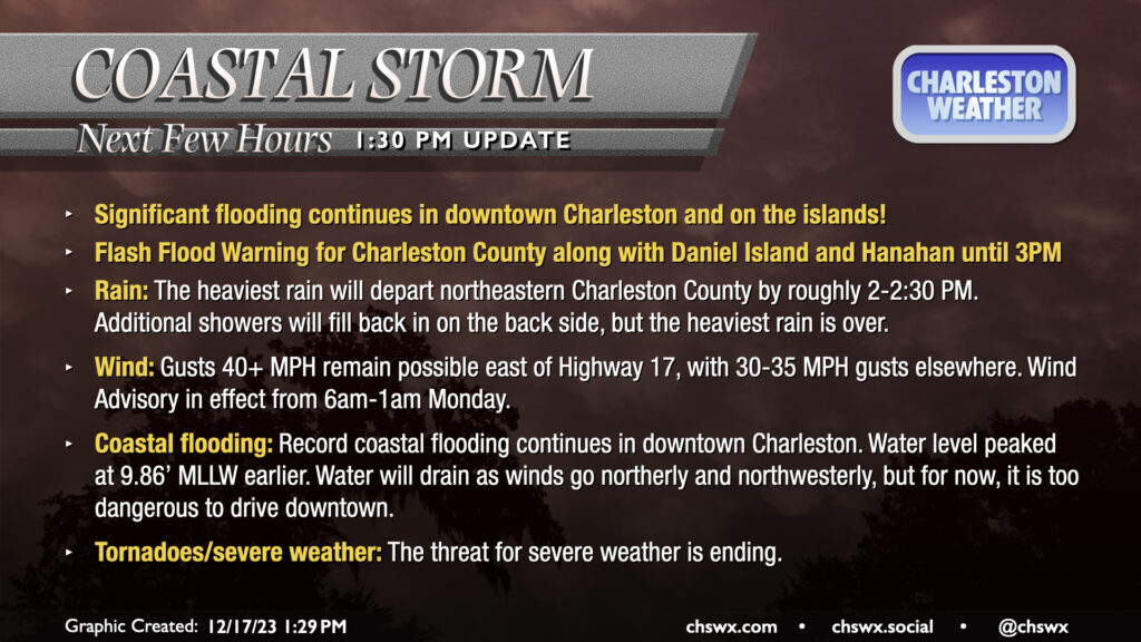
Significant flooding continues in downtown Charleston and on the islands! Flash Flood Warning for Charleston County along with Daniel Island and Hanahan until 3PM. Rain: The heaviest rain will depart northeastern Charleston County by roughly 2-2:30 PM. Additional showers will fill back in on the back side, but the heaviest rain is over. Wind: Gusts 40+ MPH remain possible east of Highway 17, with 30-35 MPH gusts elsewhere. Wind Advisory in effect from 6am-1am Monday. Coastal flooding: Record coastal flooding continues in downtown Charleston. Water level peaked at 9.86’ MLLW earlier. Water will drain as winds go northerly and northwesterly, but for now, it is too dangerous to drive downtown. Tornadoes/severe weather: The threat for severe weather is ending.

The worst is ending, but we’re not done yet. Expect more (but lighter) rain to move back in with the wind threat continuing into tonight. The risk for severe weather is ending here, thankfully, but flash flooding remains a concern downtown where water levels are still very high. Stay weather-alert through tonight.