Blog

/ January 20, 2025 at 12:19 PM

Midday update on expected winter weather generally beginning around and after sunset Tuesday, lasting through early Wednesday morning. Models have trended drier with high pressure likely to suppress the storm track further south and east. Snow still coming, but not like 2018.
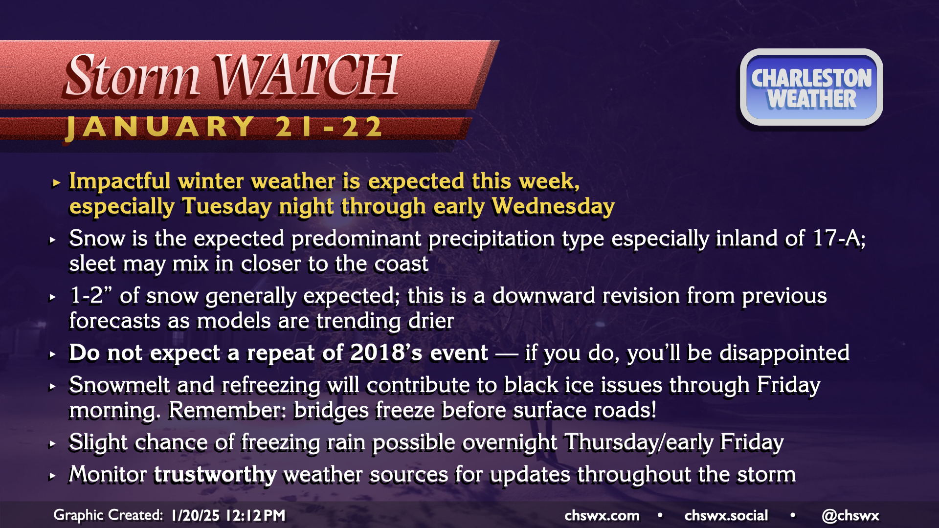
Impactful winter weather is expected this week, 
especially Tuesday night through early Wednesday.
Snow is the expected predominant precipitation type especially inland of 17-A; sleet may mix in closer to the coast.
1-2” of snow generally expected; this is a downward revision from previous forecasts as models are trending drier.
Do not expect a repeat of 2018’s event — if you do, you’ll be disappointed!
Snowmelt and refreezing will contribute to black ice issues through Friday morning. Remember: bridges freeze before surface roads!
Slight chance of freezing rain possible overnight Thursday/early Friday.
Monitor trustworthy weather sources for updates throughout the storm.