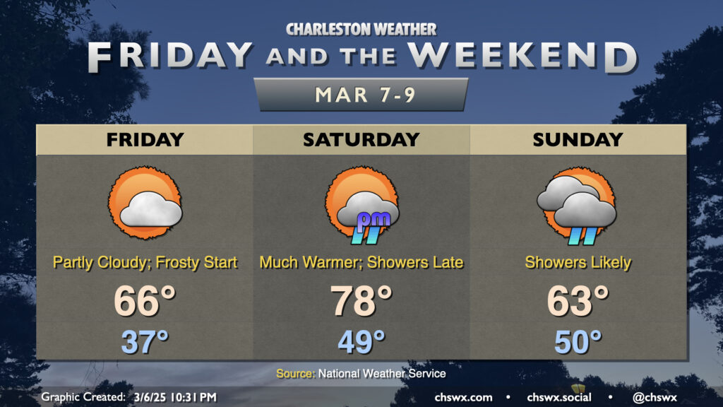
Friday & the weekend: Temperature rollercoaster continues with some showers for Sunday

The temperature rollercoaster heads for a dip overnight tonight into Friday morning as temperatures bottom out in the mid-30s across much of the area. This could lead to some frost formation especially in rural, inland areas; a Frost Advisory is up for inland Berkeley and Dorchester as a result. We’ll warm to the mid-60s in the afternoon under partly cloudy to mostly sunny skies, though we should see a little uptick in cloud cover in the evening.
If Friday morning is the dip, Saturday afternoon is the peak before another drop on Sunday. We start Saturday in the upper 40s to around 50° as high pressure slips offshore, with return flow pumping in more warm and humid air into the area. Temperatures will climb to the upper 70s in the afternoon under partly cloudy to mostly sunny skies before a front approaches the area late. This could bring a few showers to the area Saturday evening, with rain chances increasing as we head into Sunday. The front will clear the area on Sunday, but low pressure developing along it and a solid feed of overrunning moisture will keep showers and maybe even a thunderstorm or two in the forecast. Temperatures start around 50°, but will peak much lower than they did on Saturday, generally in the low to mid-60s.
Follow my Charleston Weather updates on Mastodon, Bluesky, Instagram, Facebook, or directly in a feed reader. Do you like what you see here? Please consider supporting my independent, hype-averse weather journalism and become a supporter on Patreon for a broader look at all things #chswx!