Jun 25, 2025 at 5:37 PM
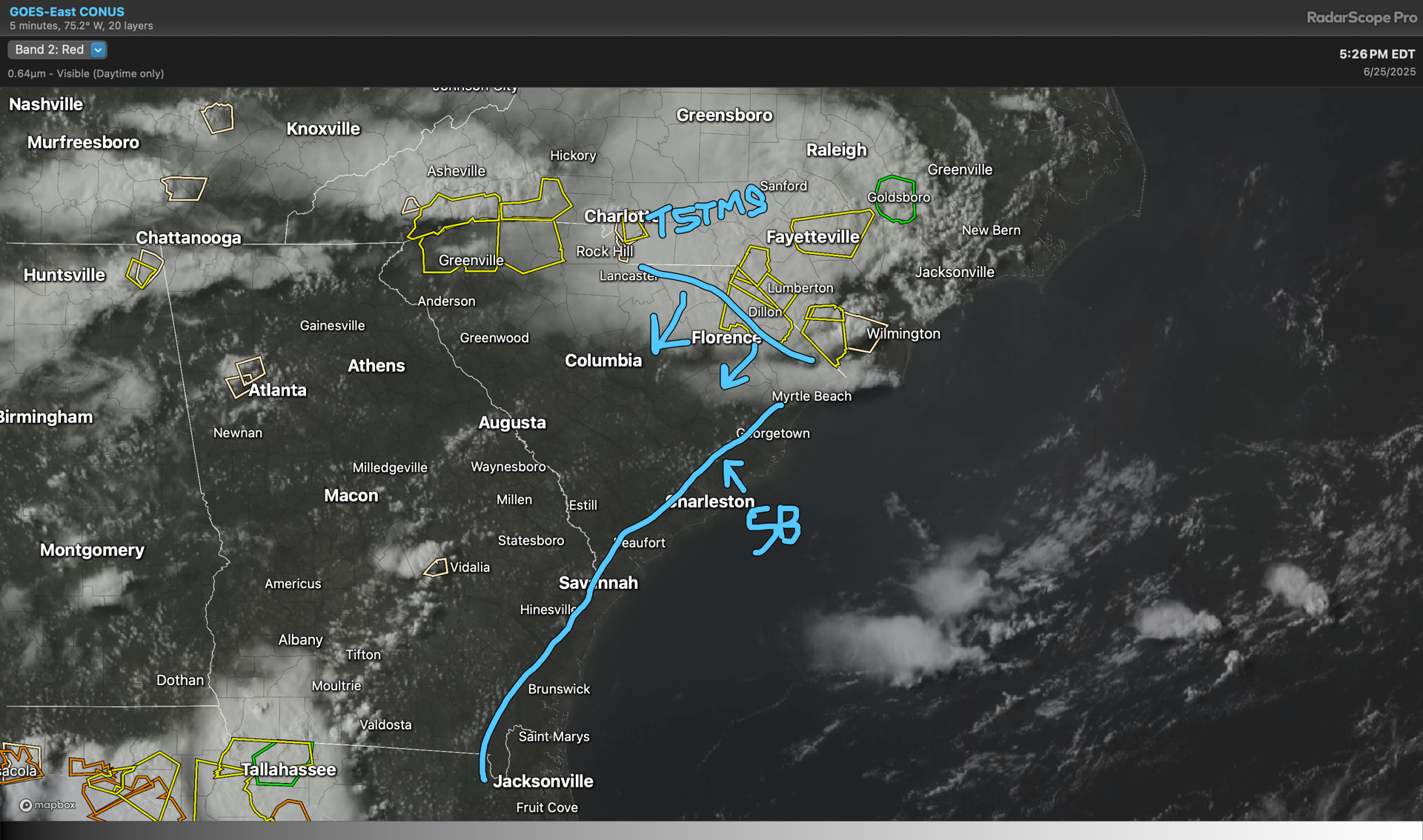
Using the satellite we see the seabreeze front moving inland across the Tri-County. Meanwhile, storms to our NE are emanating outflow boundaries and kicking off additional storms along and ahead of it. Storm risk increases across the area after 7PM. Stay alert for warnings!