Jared Smith founded @chswx on Twitter in 2008 as an experiment in disseminating weather data through social media. In the ensuing decade-and-a-half, @chswx has provided live coverage of tropical cyclones, tornadoes, severe weather, and even a couple bouts of winter weather to the good people of Charleston, SC.
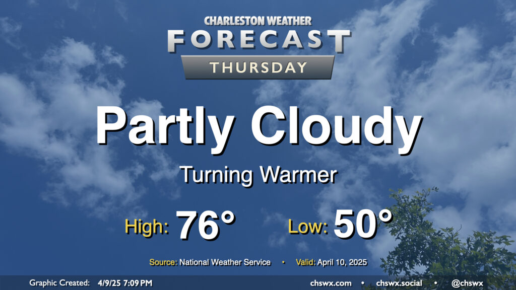
High pressure to our north, which has kept a cooler onshore flow in place that limited highs to the low 70s today, will slip offshore for Thursday, and we turn a bit warmer as a result. Expect to start Thursday right around 50°, just a touch below April 10 normals, warming to the mid-70s in the afternoon under partly cloudy skies. Should be a pleasant springtime day, all in all, especially if you like it a little warmer.
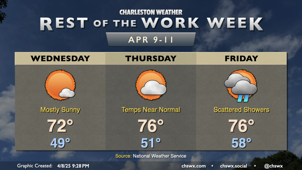
Quiet and generally pleasant weather continues for the next couple days as high pressure remains in control through Thursday ahead of the next front and accompanying rain chance Friday.
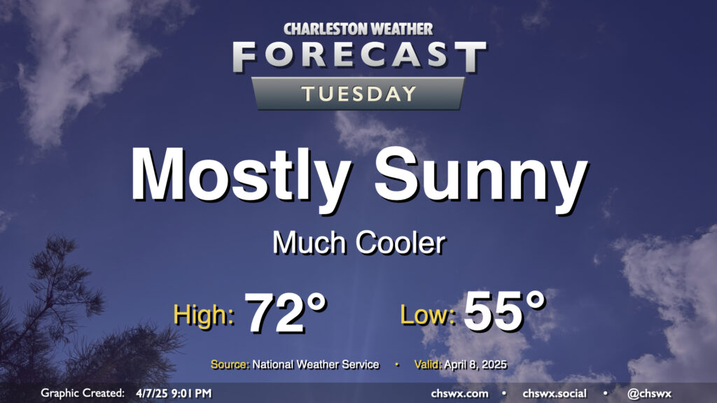
After a cold front comes through late Monday, Tuesday will turn out to be a much cooler and quieter day (weather-wise, anyway) as the front sweeps away the past week and change of more summerlike conditions. We’ll start Tuesday in the mid-50s, warming to just the low 70s in the afternoon under mostly sunny skies. It’ll feel quite different, but a bit more like early-to-mid-April, too.
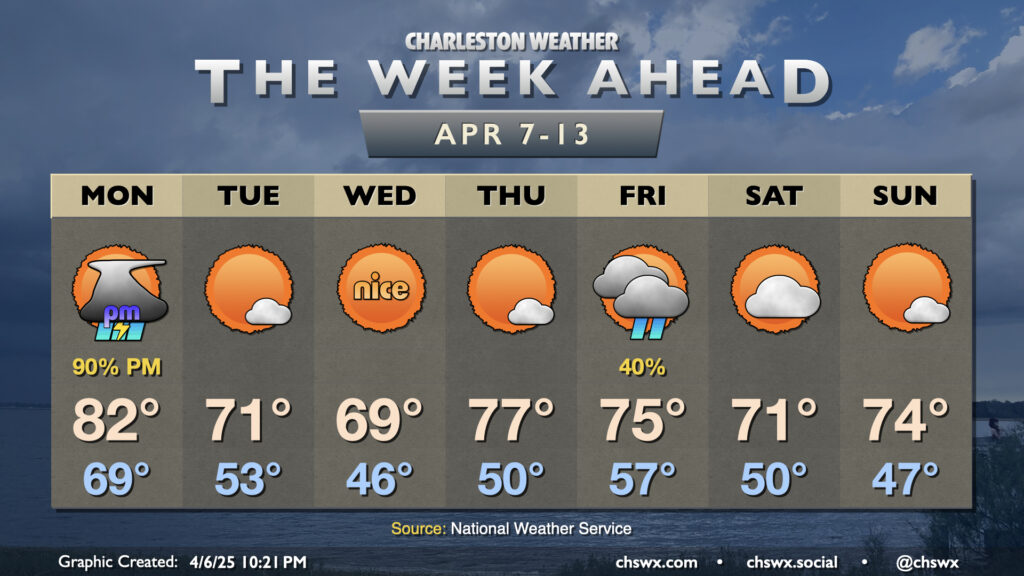
The recent late spring/early summer preview of the past week or so will come to an end on Monday as a cold front moves through the area, bringing more seasonable (if not somewhat cooler-than-normal) temperatures back to the Lowcountry for the second week of April.
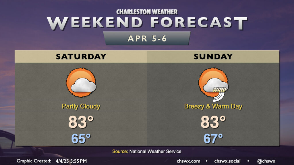
Bridge Run Weekend will remain rain-free, though much warmer-than-normal temperatures will continue. Saturday starts in the mid-60s, perhaps at least tying the record warm low temperature for April 5 (65°) before highs head to the low to mid-80s in the afternoon under generally partly cloudy skies. The seabreeze comes through later in the afternoon, undercutting any stronger warming, so the record high of 89° set in 1978 appears safe. It’ll still be a bit breezy, with winds 15-20 MPH with higher gusts at times owing to our position between high pressure over the Atlantic and a strong, stalled storm system to the west.
We will turn even breezier for Sunday as the storm system starts to dislodge and move our direction. Once again, a record warm low temperature is in striking distance (68° set in 2023) to start the day before warming back to the low to mid-80s in the afternoon before the seabreeze moves through. A solid mix of sun and clouds will give the sky some character, but we stay rain-free for one more day (though a few showers will be possible late the further inland you go).
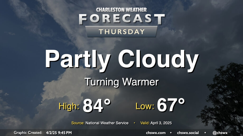
It will be a very warm Bridge Run weekend as deep-layered high pressure atop the Southeast, in a configuration more reminiscent of summer, hangs around for a few more days. We’re working on a record warm low temperature for Thursday — the low so far of 70° would blow past the previous record of 67° set in 2012 — with maybe a couple more to fall before the weekend is out.
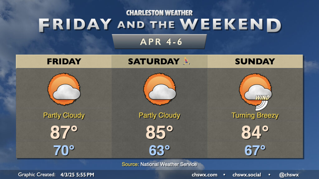
Lows on Friday should only bottom out around 70°, which would tie the record warm low temperature last set in 1970. Highs would then soar to the upper 80s in the afternoon before the seabreeze moves through and cuts temperatures down a bit. Partly cloudy skies will be the general rule, while we stay breezy during the day owing to the pressure gradient between high pressure to the east and the stalled storm system to the west.
Atlantic high pressure at the surface and aloft will bring on progressively warmer weather as we hit Thursday and the rest of the Bridge Run weekend. We may set some record warm low temperatures during this stretch, starting with Thursday’s forecast low of 67°, which would tie the record warm low set in 2012. It’ll be a partly cloudy day, and the increasing influence of high pressure will keep any shower activity at bay (unlike what a few of us saw on Wednesday as a warm front lifted north). Temperatures will head to the mid-80s in the afternoon, which should get us right into some of the warmest air so far this year.
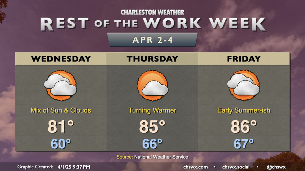
High pressure will continue to keep the weather generally on the quiet side for the rest of the work week. It’s also going to help contribute to the warmest weather so far this year starting Thursday and lasting into the weekend. A bit of onshore flow will keep Wednesday’s temperatures capped to the low 80s in the afternoon under a mix of sun and clouds. From there, winds go more southerly as high pressure at the surface slips offshore. Ridging building in aloft creates a bit of a “heat dome,” and the combination of both will help bring along the warmest weather so far in 2025. Expect highs to top out around 85° on Thursday and 86° on Friday with a mix of sun and clouds each day. Lows will be even warmer, with mid-60s expected each morning that could challenge record warm low temperatures. This warmth looks to stick around into Bridge Run weekend, too, before the next front arrives Sunday night into Monday.
After a raucous evening, we’ll have a much quieter Tuesday ahead as high pressure builds back in behind the cold front. The post-frontal airmass won’t feel much like a cold front came by, though, as temperatures will only come in a couple clicks below where they did on Monday (83° ended up as the day’s high temperature). Generally speaking, expect lows in the low 60s to warm to the low 80s in the afternoon under mostly sunny skies.
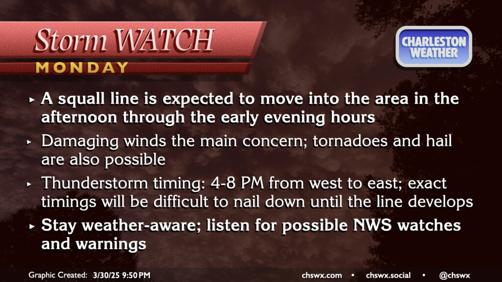
March will conclude on an unsettled and stormy note as a front moves through the area late Monday, bringing with it the risk for strong to severe thunderstorms as a squall line moves by in the late afternoon/early evening hours. It’ll be a very warm end to March, with highs peaking in the low 80s after a start in the low to mid-60s. There should be some breaks in the clouds, and with that, decent instability should develop. The shear is not off the charts, but with the instability and some pockets of drier air aloft, enough is there to support a scattered severe threat with damaging winds the primary concern. A tornado or two on the leading edge of the line can’t be totally ruled out, nor can some hail as well. Timing for thunderstorms is generally in the 4-8PM range from west to east across the metro, so be alert for potential issues during the commute. (The school day should be fine, though after-school stuff might get iffy if storms move a little faster than forecast.)