Memorial Day: Storms continue, especially late afternoon into the evening
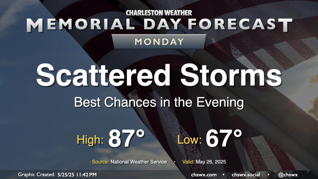
While we probably won’t get off to as stormy of a start as we did on Sunday, expect another round of showers and storms to kick off by afternoon on Memorial Day. We’ll start the day in the mid-to-upper 60s, warming to the mid-to-upper 80s in the afternoon before thunderstorms once again kick off with a stalled front in the vicinity. The risk for severe weather remains on the low side, but heavy rain and lightning will still be enough to disrupt outdoor plans at times. Storm motions will be toward the coast as well, so be especially alert for thunderstorms at the beaches. Remember, all thunderstorms are dangerous due to the lightning they produce. If you see lightning or hear thunder, you’re close enough to be struck, and should move inside.
We’ll also want to pay close attention to the flooding threat not only from training thunderstorms but also the evening high tide, which should peak between 7.1-7.3’ MLLW around 8:16 PM. If thunderstorms are in the area around that time (as some models seem to suggest), this could indicate a greater flooding threat for vulnerable locations in downtown Charleston. This will certainly be something to watch as the day progresses. Stay alert for possible flood advisories from the National Weather Service.