Labor Day: Storm chances tick up as a front approaches
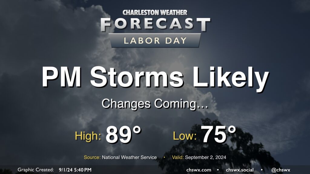
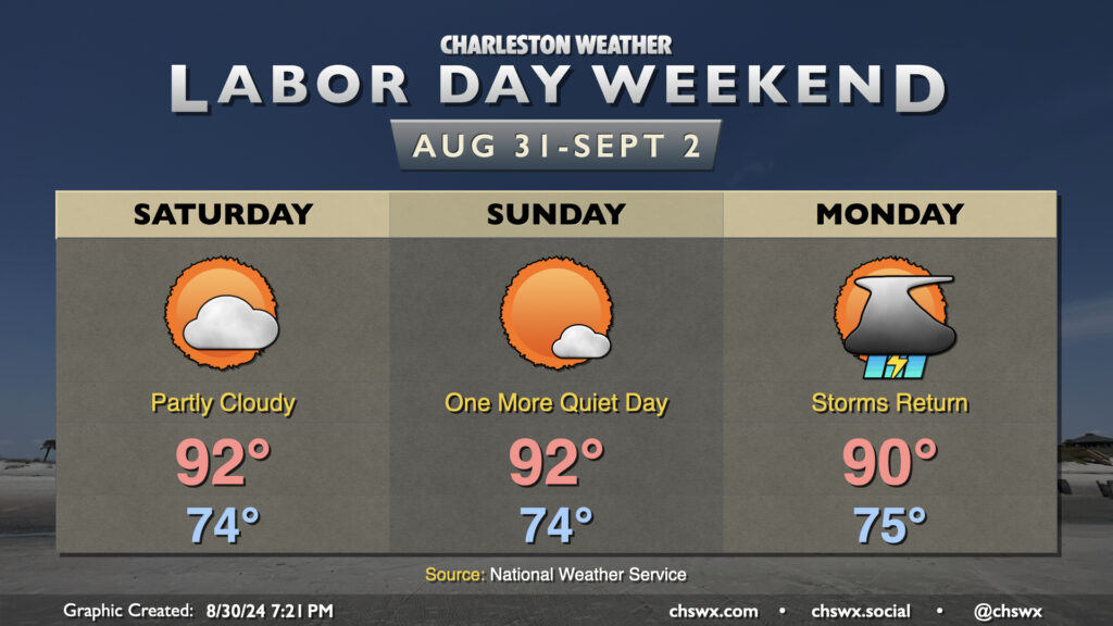
I hope everyone has gotten to enjoy the last few quiet weather days — it’s been warm, but aside from a brief shower in spots, mostly quiet. This begins to change on Labor Day as a cold front moves into the area from the north. We’ll see the risk for showers and thunderstorms increase ahead of the front, with rain chances peaking in the afternoon and evening. Severe storms are not expected, but some brief periods of heavy rain will be possible.
We’ll have one more day of seasonably warm temperatures before high pressure wedging southward drives some cooler air into the area for much of the upcoming week. Expect to start Labor Day in the mid-70s, warming to the upper 80s in the afternoon before showers and thunderstorms fire up. Heat indices should run around 100° given dewpoints in the mid-70s.
The rest of the week will feature below-normal highs in the low to mid-80s each day within a persistent northeast flow. Unsettled weather will continue, though, with the front stalled to our south and a coastal trough hanging around for the foreseeable future. It won’t rain all the time, but the risk will certainly be there. I’ll have more details tomorrow evening.