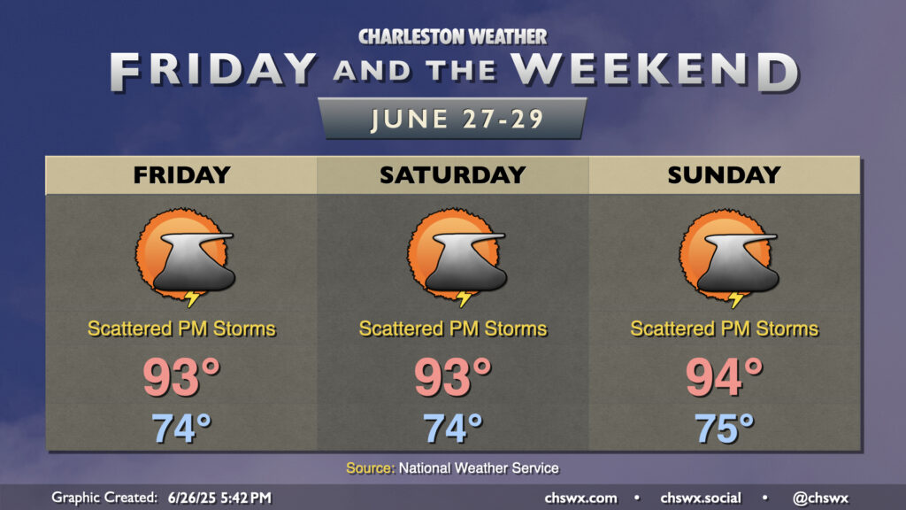
A fairly standard summer setup will take shape for Friday and the weekend as high pressure in the Atlantic ridges westward across the area, keeping temperatures warm and humid with daily storm chances. We can generally expect temperatures to start in the mid-70s each morning, with temperatures warming to the low to mid-90s each afternoon as our run of 90° days dating back to June 14 continues. Dewpoints ahead of the seabreeze will mix out with some drier air aloft to keep heat indices from getting too far out of hand, with apparent temperatures running just 3 or 4° warmer than air temperatures. Still, if you have vulnerability to the heat, be mindful of too much strenuous activity during the afternoons.
We should see isolated to scattered showers and thunderstorms fire along and ahead of the seabreeze each afternoon. The risk for severe weather is very low, but there’s always the risk for a storm or two to briefly turn strong to severe especially where thunderstorm outflow boundaries collide. Remember, all thunderstorms are dangerous because of the lightning they produce. When thunder roars, go indoors!
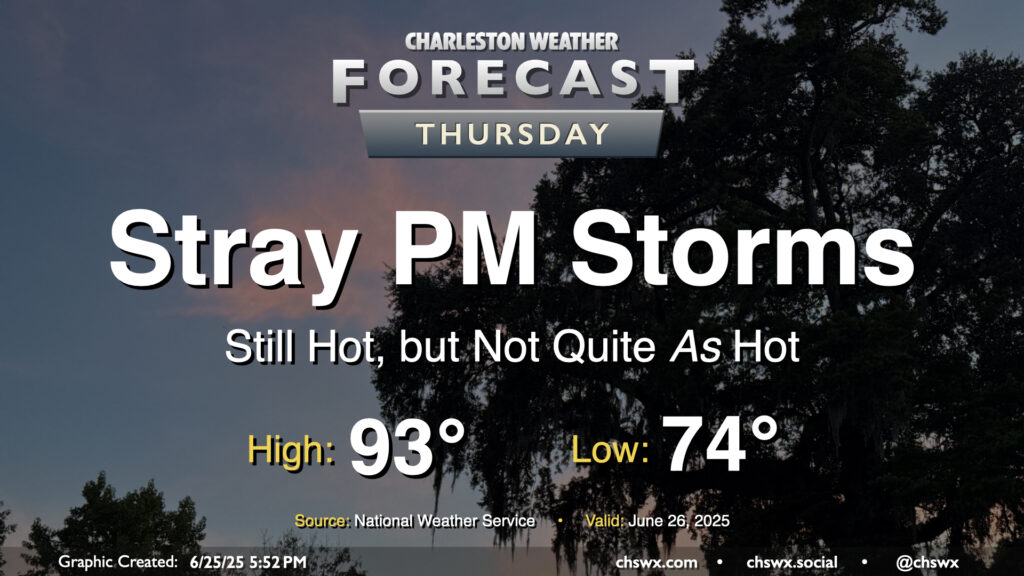
The high heat of the past couple days — we hit 98° again on Wednesday, just one degree off the record high — will let up on Thursday as high pressure aloft continues to weaken. Don’t misunderstand: it’ll still be plenty hot, but not to the Advisory-level thresholds we’ve hit recently. After a start in the mid-70s, likely in the wake of thunderstorms that are expected late tonight into early Thursday morning, temperatures in the afternoon warm to the low 90s. Dewpoints will mix down to around 70°, so heat indices should stay relatively tame, with a brief spike into the upper 90s possible as the seabreeze pushes inland. A few showers and thunderstorms could pop on the seabreeze, as is often the case this time of year, but nothing out-of-bounds is expected.
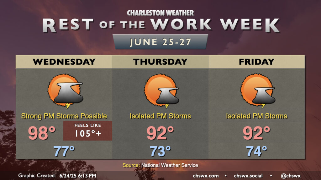
After reaching 98° today at the airport and 95° downtown, another very hot day awaits for Wednesday as air temperatures should once again make a run for the upper 90s in the afternoon, with heat indices once again peaking in the mid-to-upper 100s.
We will need to keep an eye on the skies on Wednesday afternoon and evening, though, as several of the high-resolution models suggest some sort of thunderstorm complex will develop in southern North Carolina and move southwest through the afternoon and evening hours. Plenty of instability will be available, and there will be a risk for these thunderstorms to produce strong, damaging winds. NWS’s current thinking on timing for any severe storms would be from 6PM-midnight, with the best risk for severe weather inland of Highway 17. We’ll keep an eye on this throughout tomorrow and will update as needed.