Friday & the weekend: Record highs possible, but changes coming
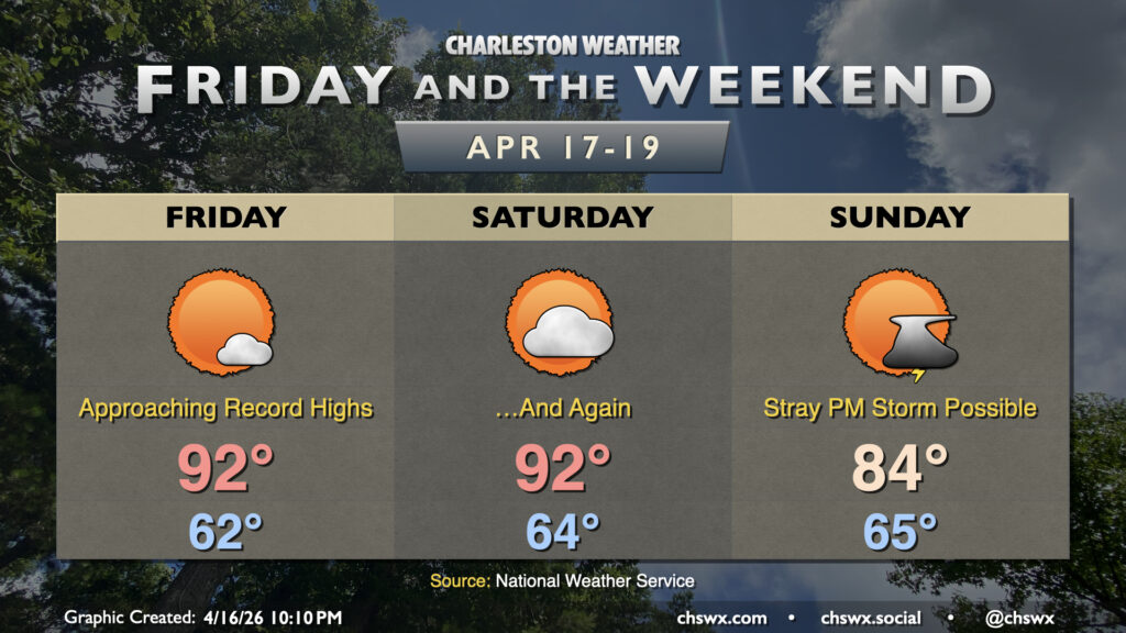
We’ll see the potential for record heat Friday and Saturday before a front affects the area Sunday, ushering in a few cooler days next week.
Read more »Forecast explanations, atmospheric science, and other cool weather-related stuff for Charleston, SC
We’ll see the potential for record heat Friday and Saturday before a front affects the area Sunday, ushering in a few cooler days next week.
Read more »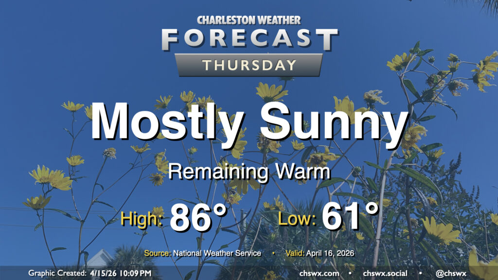
Well, we are running out of ways to tell y’all that it’s going to be warm and dry. High pressure remains the main weather driver across the area, keeping temperatures warmer than normal and rain chances virtually nil. We’ll start the day in the low 60s, warming to the mid-80s in the afternoon away from the coast, where onshore flow from the south will help keep temperatures pinned to the upper 60s. Expect downtown to peak a few degrees cooler, generally in the upper 70s to low 80s depending on your proximity to the water.
Read more »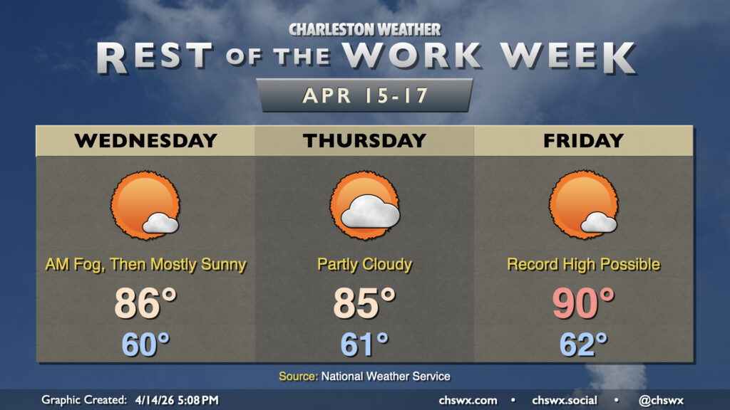
High pressure remains the main weather driver for the rest of the work week, keeping things generally quiet but also warm and dry — not great for the ongoing drought. Temperatures Wednesday will take another jump into the mid-80s across the area away from the locally cooler coastline with plenty of sunshine after some patches of morning fog. A disturbance aloft will cause an uptick in cloud cover for Thursday and keep temperatures close to Wednesday’s values, but it’ll still be plenty warm and well above normal for this point in the year.
The warmest period begins Friday and lasts until Saturday, in which high pressure anchored to our south drives more westerly wind trajectories at the surface and aloft. This will send temperatures to near record levels Friday, with highs in the low 90s a distinct possibility under mostly sunny skies.
Read more »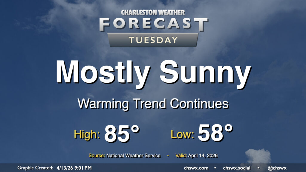
Stacked high pressure remains in control for Tuesday, yielding plenty of sunshine and a continuation of our warming trend. We’ll start Tuesday in the upper 50s to low 60s, warming to the mid-80s away from the coast. Expect downtown to peak in the upper 70s, while we may not get out of the upper 60s right at the beaches where the adjacent Atlantic waters continue to run in the upper 60s.
Read more »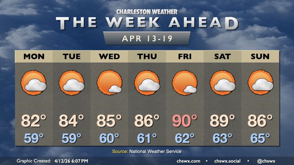
Increasingly warm and dry weather will be the main story this week as stacked high pressure remains the primary weather driver across the Southeast, including the Lowcountry. Keep the sprinkler systems cued up this week as there’s no rain in sight for at least the next seven days with not a lot of moisture and plenty of sinking air to inhibit shower and thunderstorm development. By the end of the week, we could be approaching the 90s once again, with record highs a possibility.
Read more »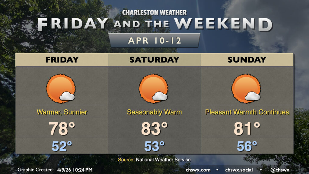
There are no weather concerns this weekend for outdoor activities across the Lowcountry with seasonably warm temperatures and mostly sunny skies. The main weather concern remains the building drought across the area, with severe drought across our part of the Lowcountry.
Temperatures Friday will be the coolest of the set, topping out in the upper 70s to near 80° with plenty of sunshine. Saturday will be the warmest day with more southerly winds expected to help drive temperatures into the low-to-mid-80s. Winds turn more onshore on Sunday, and that will send temperatures a touch lower as a result — but still warm in the low 80s.
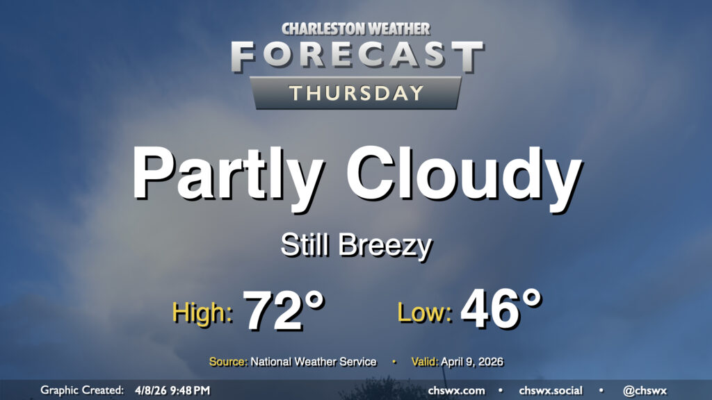
After temperatures topped out just around 70° inland from the coast — which remained in the low 60s, including downtown — we’ll start to warm up a little bit on Thursday, though breezy northeasterly winds will persist and keep the coast pinned to the mid-60s. We’ll see ample sunshine, though, and it’ll be a generally seasonable day for early April.
Read more »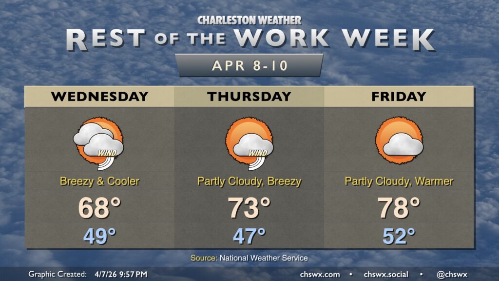
A reinforcing front will push through tonight, bringing us cooler and breezy weather for Wednesday. We start Hump Day in the upper 40s to around 50°, warming to just the upper 60s in the afternoon with a mix of sun and clouds. It’s going to be a breezy day, too, with winds 15-20 MPH gusting to 30-35 MPH. This combined with dry air will increase the fire danger for Wednesday. The northeasterly winds also increase the rip current and high surf risk, with a High Surf Advisory in effect for Wednesday into much of Thursday.
Read more »