Unsettled rest of the work week ahead
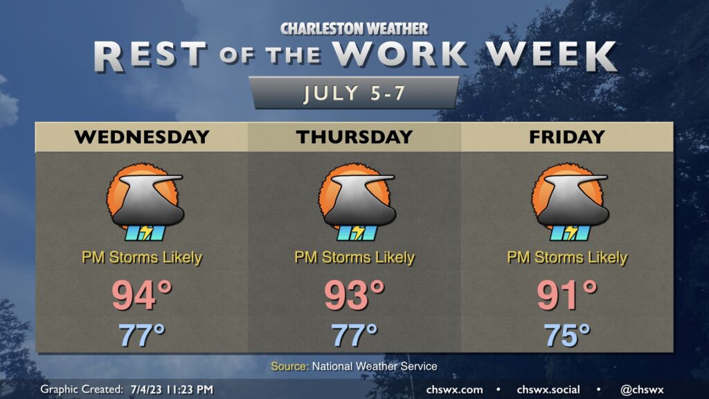
The rest of the work week will remain rather unsettled as very humid air remains in place across the area and impulses continue to ripple aloft.
Hot and humid conditions will continue for the foreseeable future, with abatement coming in the form of seabreeze showers and thunderstorms each afternoon and evening. Temperatures will generally run in the mid-90s on Wednesday and perhaps Thursday, then backing down a little to the low 90s on Friday. Heat indices will continue to run above 105° each afternoon through at least Thursday due to the combination of warm air temperatures and mid-70s dewpoints.
Thunderstorms each afternoon will be capable of very heavy rain in a short period — there were reports of nearly 3” in an hour in a few spots on Tuesday — and excessive lightning. Damaging wind gusts will be possible in the strongest storms, though a widespread severe weather event is not expected.
Finally, we’ll continue to deal with the potential for coastal flooding with the late high tides. High tide on Wednesday is at 10:48 PM; salt water flooding will generally be possible an hour or two on either side of high tide.