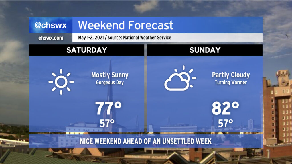
We’ve got a good-looking weekend queued up to start May. A cold front came through earlier today, and drier air is moving into the area from the north. This will make for a comfortable start to Saturday, with lows bottoming out in the mid-50s. Temperatures will rise into the mid-to-upper 70s under a mostly sunny sky — a really great day to get outdoors. Sunday will turn a little warmer with highs topping out in the low 80s under partly cloudy skies, but should still be quite nice.
As we get into next week, the pattern turns a little more unsettled with shower and thunderstorm chances each day through Thursday, though this should all settle out for another gorgeous weekend afterward. Enjoy!
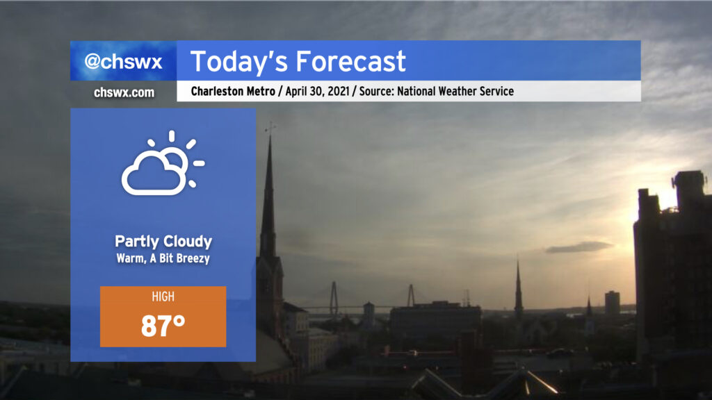
This morning, we find a cold front moving into the Upstate of SC. Said front looks to cross the area this afternoon with mostly little fanfare; expect mostly clear skies by sundown. Despite the front, today will be the warmest day of the week as deep downslope flow in the wake of the front allows temperatures to warm into the upper 80s. Dewpoints will trend downward, though, and it will feel pretty good outside despite the higher heat to close April. The weekend looks pretty good, with an especially nice day coming up on Saturday — more later today!
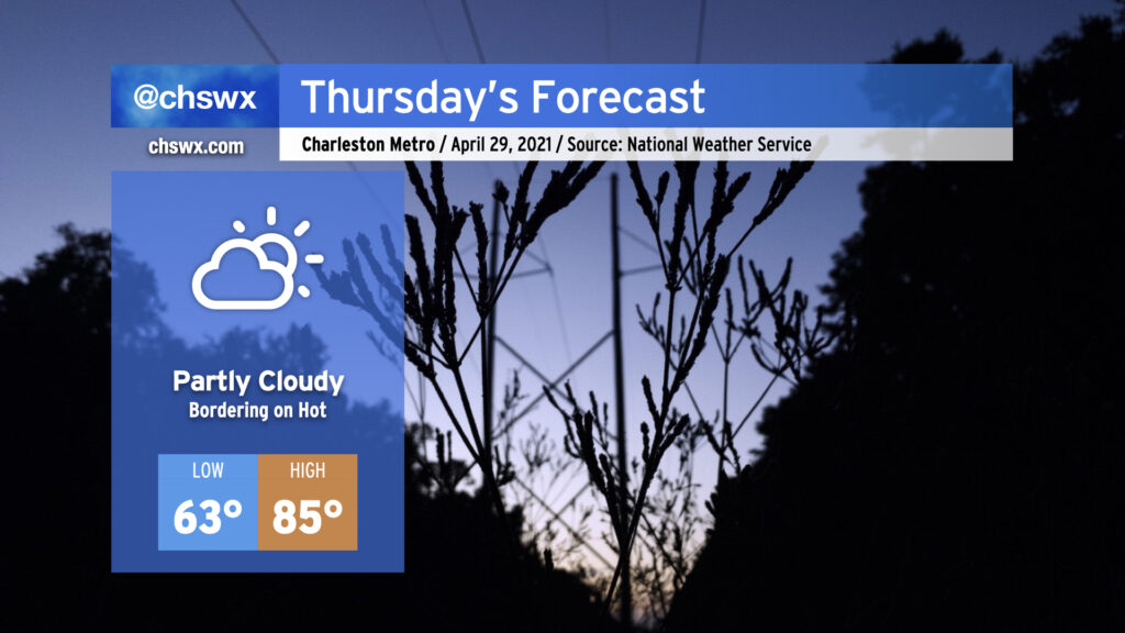
We’re going to feel a little more like late May than late April tomorrow as high pressure slides a little more offshore with strong ridging remaining aloft. Humidity creeps up a little bit, and with a little compressional warming beginning ahead of a cold front, temperatures will get into the mid-80s in the afternoon. We will remain rain-free for at least one more day given the ridging aloft; with only a slight chance of thunderstorms on Friday as the front swings through, it is conceivable we will stay rain-free through the weekend as high pressure builds back in behind it, cooling things off a little for Saturday.
Minor coastal flooding will remain an issue with the evening high tides through Friday. Winds will then shift offshore and lingering astronomical influences will wane, ending this cycle of coastal flooding.
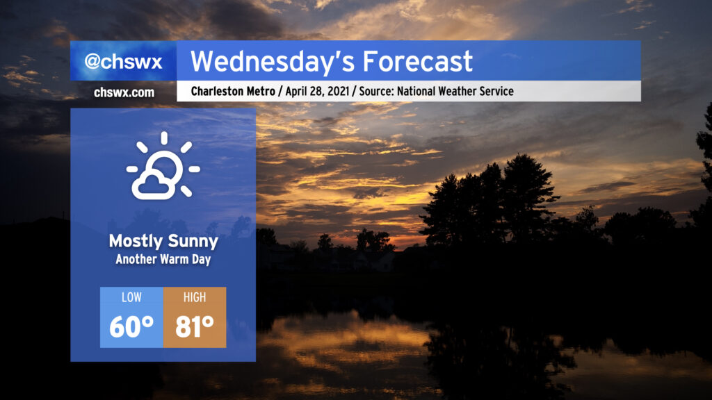
If you liked today, you’ll like Wednesday — we’ll get back up into the low 80s under mostly sunny skies. Temperatures will run a little warmer in the morning thanks to a little more cloud cover overnight, but will still be largely comfortable around 60°. The warming trend continues into Thursday, when we’ll reach into the mid-80s across the area ahead of a cold front. Said front looks to bring some showers and thunderstorms into the forecast for Friday, but the exact details of how rain will go down are still a little iffy. Stay tuned.
Coastal flooding will remain a concern with the 10:10 PM high tide Wednesday night as lingering astronomical influences and onshore flow persists. We’ll likely have another Coastal Flood Advisory as a result.
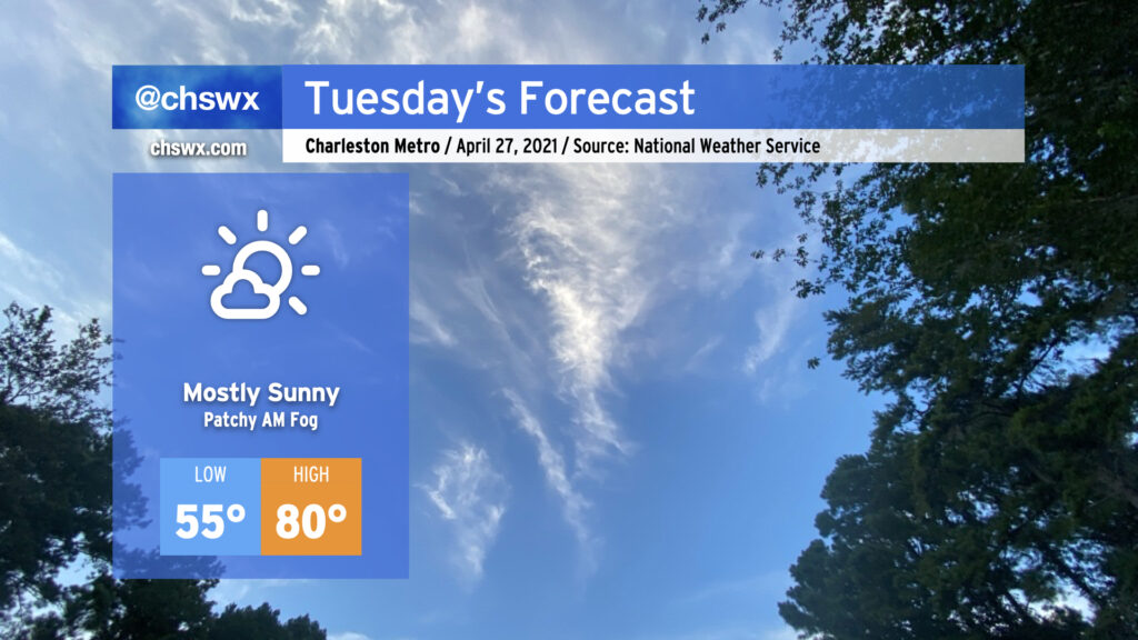
We’ve got another nice day ahead on Tuesday with high pressure remaining in control both at the surface and aloft. Temperatures will start in the mid-50s before rising to about 80° in the afternoon (it’ll run a few degrees cooler at the beaches) under mostly sunny skies. There could be a few patches of fog in the morning, but nothing too out of band.
We’ll want to keep an eye on high tide Tuesday evening for another round of minor tidal flooding. High tide is expected around 9:18 PM, and water levels could approach 7.2′. Be ready to reroute in case roads close or are otherwise covered with water.