Charleston Weather Blog

Forecast explanations, atmospheric science, and other cool weather-related stuff for Charleston, SC

Thursday: Another warm day, but changes are afoot

/ August 20, 2025 at 10:22 PM

Thursday will be another warm day across the Lowcountry, with lows in the mid-70s warming to the low-to-mid-90s in the afternoon. Heat indices will run in the upper 90s to perhaps 100° in spots under generally partly cloudy skies. We should start to see cloud cover begin to thicken a bit as we get into the afternoon and evening hours, though, with rain chances increasing as Hurricane Erin accelerates to the northeast and a cold front drives south into the area, stalling out as it gets to our south.

Read more »

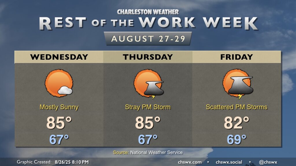
Rest of the work week: Erin’s coastal impacts peak; more unsettled toward the weekend

/ August 19, 2025 at 10:37 PM

The main story for the next couple days will be Hurricane Erin’s impacts on the Lowcountry. While not a direct hit — the storm will pass hundreds of miles offshore — the strong, dangerous rip currents and high surf will cause beach erosion and coastal flooding issues over the next few days.

Read more »

Tuesday: A few storms possible as coastal hazards from Erin ramp up

/ August 18, 2025 at 10:30 PM

After an uncharacteristically quiet Monday (weather-wise, anyway), Tuesday should feature a few more storms as a little energy aloft moves through and interacts with the afternoon seabreeze. Temperatures start in the mid-70s, warming to the upper 80s to around 90° before thunderstorms disrupt the temperature curve for some of us. Models do indicate some isolated heavy downpours, though with less in the way of deep moisture, the flooding threat shouldn’t be terribly high.

Read more »

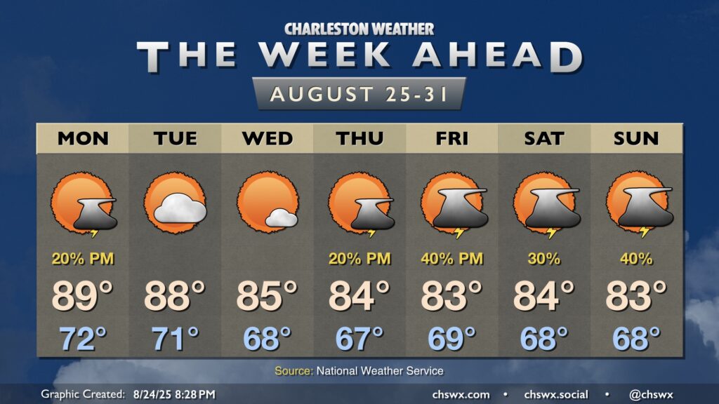
The week ahead: Erin passes to our east, bringing coastal hazards

/ August 17, 2025 at 6:02 PM

The week ahead starts out on a warm note with high pressure in play before turning more unsettled by the time we get into the weekend. Meanwhile, Hurricane Erin will be passing offshore, sparing us direct impacts but kicking up high surf, a risk for dangerous rip currents, and even some coastal flooding in the evenings.

Read more »