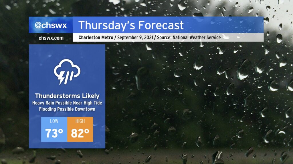
Heavy rain, enhanced by Tropical Storm Mindy, possible around the morning high tide

We have a soggy Thursday coming up as Tropical Storm Mindy, which was named and made landfall on the Florida Panhandle in the space of four hours earlier this evening, moves to our south, bringing along a tropical airmass that will help squeeze out quite a bit of rain particularly in the morning. High tide at 10:19 AM will be of particular interest as high-resolution models strongly suggest that heavy rain will be in the area ahead of and around that time. This could spell a flooding concern for downtown Charleston depending on where the heaviest rain sets up. Be cautious during tomorrow morning’s commute, and be ready to use alternate routes.
The heaviest rain will fall in the morning, but there will be the risk of showers and thunderstorms through the evening as a cold front will move through the area. Once that front’s through, though, we’ll be set up for a nice weekend. Meanwhile, Mindy will be shooed away from the area along the aforementioned cold front, and there are no additional tropical concerns of note for now.
Temperatures will top out just in the low 80s thanks to the prevalent cloud cover and rainfall, well below early September norms. As we head into Friday and the weekend, temperatures will continue to run a little below normal — another taste of fall as we head deeper into September.