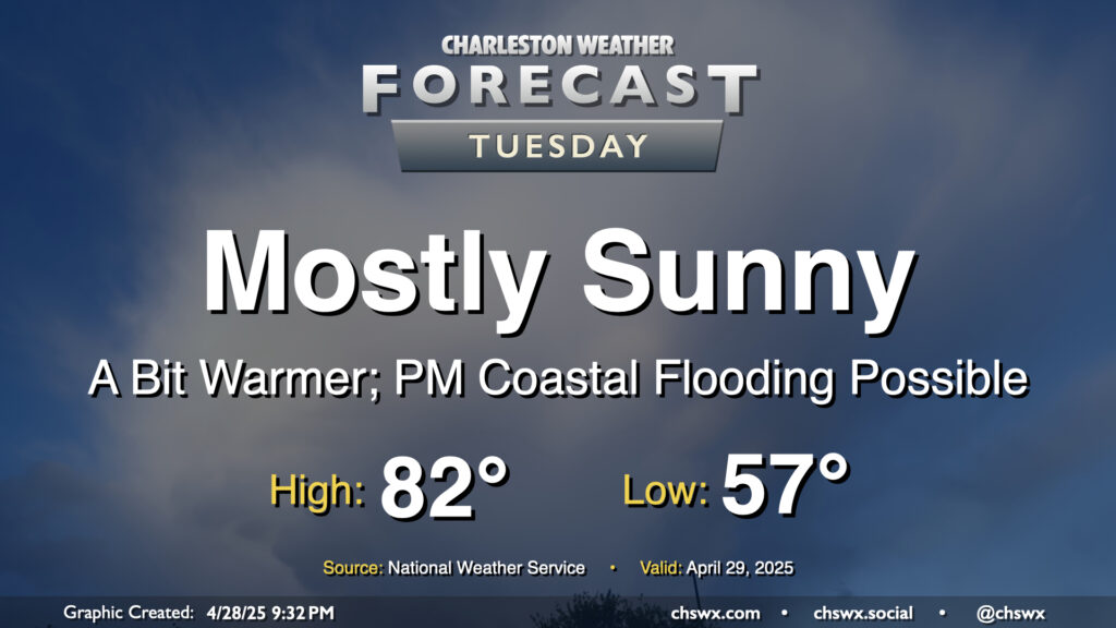
Another seasonably warm and mostly sunny day is on tap for Tuesday as high pressure remains in control. We’ll start the day on the cool side of normal once again, with lows in the mid-to-upper 50s expected away from the coastline. Then, temperatures warm to the low 80s in the afternoon with plenty of sunshine throughout. Don’t forget the SPF!
We will still need to monitor tides in the late evening as water levels should peak between 7-7.2’ mean lower low water in Charleston Harbor a little before 10:30 PM. Some minor salt water flooding will be possible an hour or two around the time of high tide as a result, and another coastal flood advisory appears probable. This should do it for this high tide cycle, though, as astronomical influences wane and winds turn more unfavorable starting Wednesday.
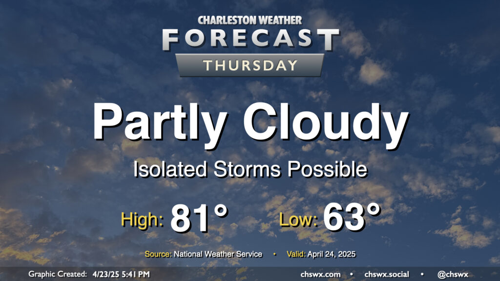
A few more storms will be possible Thursday as the lingering stalled front hangs around a bit longer. This, combined with the seabreeze, keeps a slight chance for storms in the metro in play for a good bit of the day, though the rain chance should diminish as the seabreeze pushes further inland. Temperatures will still be on the warm side of normal, but cloud cover, storms, and onshore flow should keep highs suppressed to the low 80s.
We’ve got another warm and generally quiet day of weather inbound for Tuesday. Temperatures will, in fact, run a little warmer than they did on Monday despite some additional cloud cover as high pressure aloft begins to break down. Expect generally mid-80s in the metro after a mild start in the mid-60s — temperatures that are climatologically much more in line with early June than they are late April.
A stray shower can’t be totally ruled out as the seabreeze pushes inland, but otherwise, most of us should have one more rain-free day across the area.
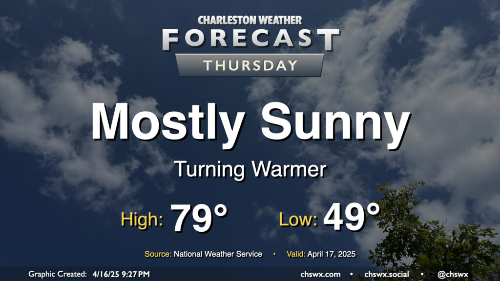
Above-normal temperatures return to the Lowcountry on Thursday as high pressure at the surface begins to head eastward. We’ll start the day in the upper 40s to around 50°, warming to near 80° in the afternoon under mostly sunny skies. I hope you get a chance to get out and about at some point because it should be another nice day!
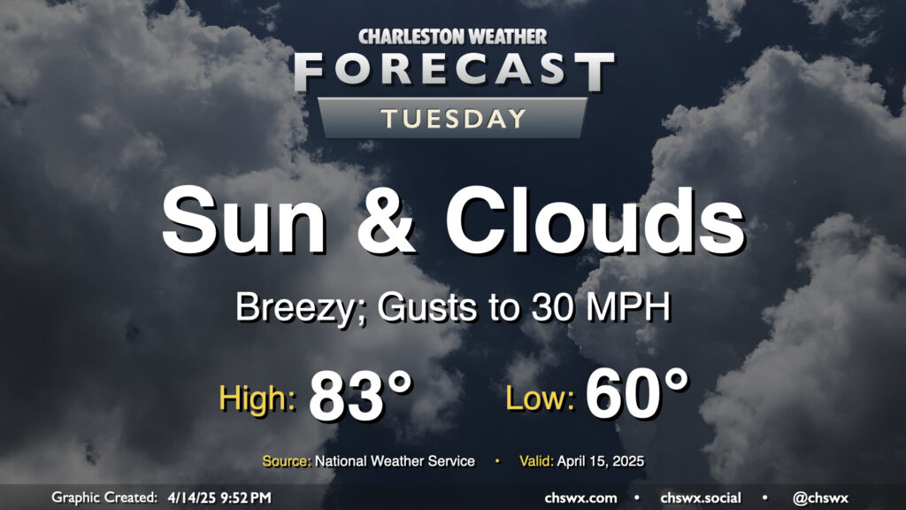
Another warm day is on tap for Tuesday ahead of a cold front that’ll push through later in the afternoon. We’ll start the day around 60°, warming to the low to mid-80s in the afternoon despite increasing cloud cover with the frontal passage. A dearth of deep moisture, though, will keep any rain at bay. It’ll be a breezy day ahead of the front, with gusts pushing 30 MPH at times, so you’ll want to keep that in mind as the bridges may be a little trickier than normal as a result. Winds will calm down in the evening once the front is by, though.
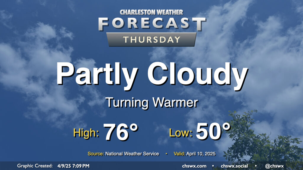
High pressure to our north, which has kept a cooler onshore flow in place that limited highs to the low 70s today, will slip offshore for Thursday, and we turn a bit warmer as a result. Expect to start Thursday right around 50°, just a touch below April 10 normals, warming to the mid-70s in the afternoon under partly cloudy skies. Should be a pleasant springtime day, all in all, especially if you like it a little warmer.
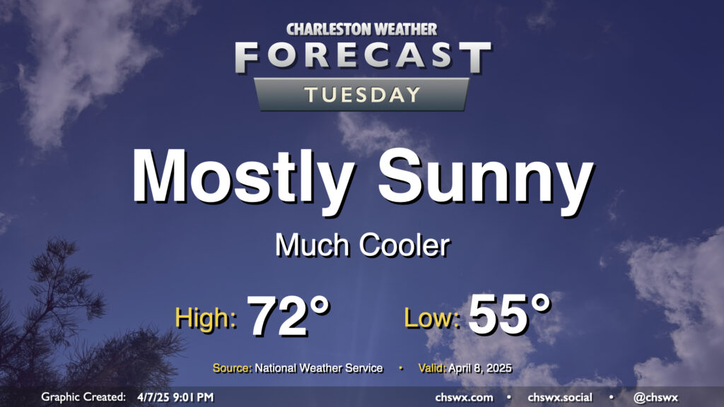
After a cold front comes through late Monday, Tuesday will turn out to be a much cooler and quieter day (weather-wise, anyway) as the front sweeps away the past week and change of more summerlike conditions. We’ll start Tuesday in the mid-50s, warming to just the low 70s in the afternoon under mostly sunny skies. It’ll feel quite different, but a bit more like early-to-mid-April, too.
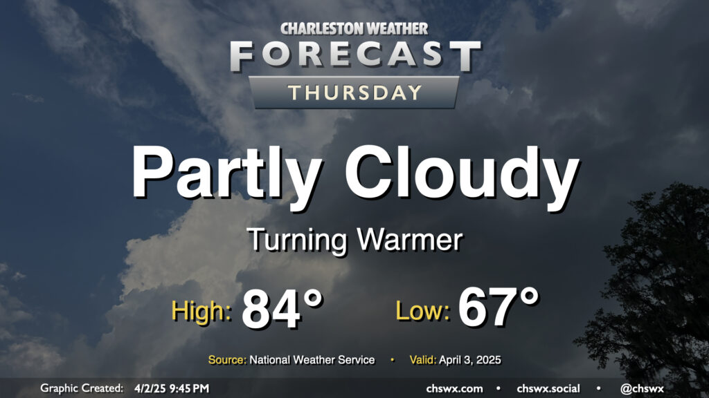
Atlantic high pressure at the surface and aloft will bring on progressively warmer weather as we hit Thursday and the rest of the Bridge Run weekend. We may set some record warm low temperatures during this stretch, starting with Thursday’s forecast low of 67°, which would tie the record warm low set in 2012. It’ll be a partly cloudy day, and the increasing influence of high pressure will keep any shower activity at bay (unlike what a few of us saw on Wednesday as a warm front lifted north). Temperatures will head to the mid-80s in the afternoon, which should get us right into some of the warmest air so far this year.
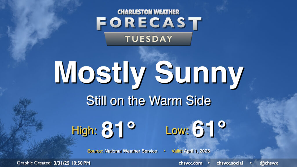
After a raucous evening, we’ll have a much quieter Tuesday ahead as high pressure builds back in behind the cold front. The post-frontal airmass won’t feel much like a cold front came by, though, as temperatures will only come in a couple clicks below where they did on Monday (83° ended up as the day’s high temperature). Generally speaking, expect lows in the low 60s to warm to the low 80s in the afternoon under mostly sunny skies.
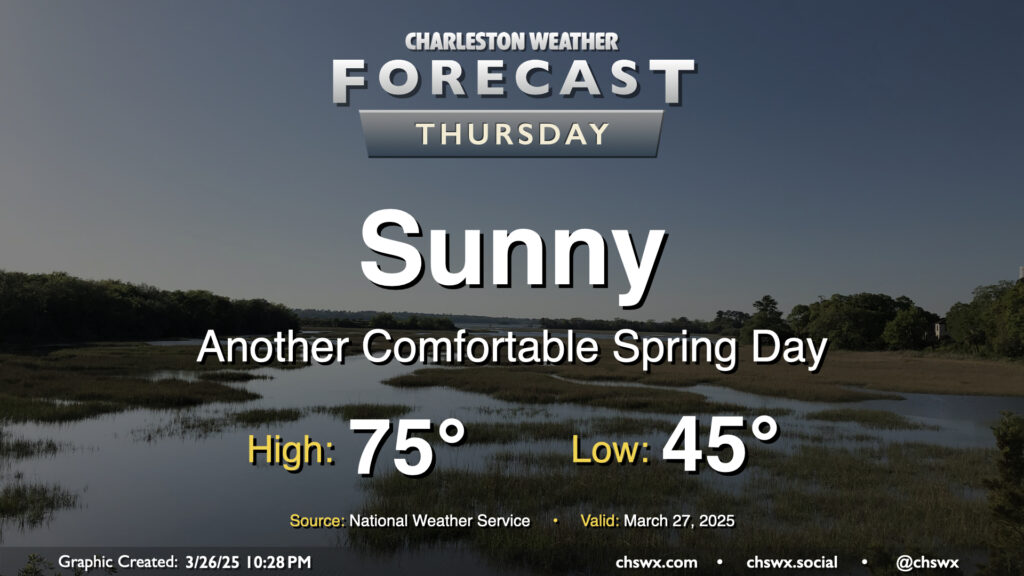
Another nice day is ahead for Thursday as high pressure slides by to our north. Temperatures start in the mid-40s, warming to the mid-70s under sunny skies for one more day. With the center of high pressure shifting more north of the area, winds will swing around more to the northeast and the east. It’ll be another dry day, relative humidity-wise, especially away from the coast as dewpoints mix down to the 30s in the afternoon. An inland-moving seabreeze will send dewpoints up into the low 40s as we get later into the day, but it’ll still feel quite comfortable outside.