Chilly, cloudy Thursday potentially starts with major coastal flooding

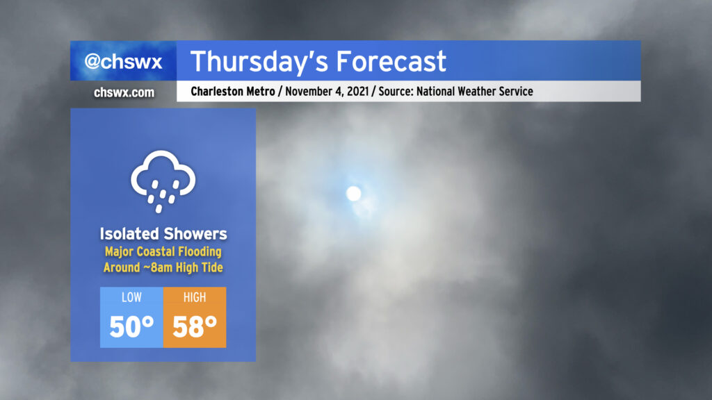
Thursday is going to have more of a mid-January feel to it as high pressure continues to wedge southward across the area, with breezy northeast winds, cloud cover, and maybe a shower or two helping to keep temperatures down into the 50s in the afternoon for the first time since early April. Suffice to say, it’s a sweater alert day across the Lowcountry!
The main weather-driven issue for Thursday, though, will be the risk for major coastal flooding around the morning high tide, which is forecast to peak between 8.0-8.2′ around 8am. If this water level verifies, it’ll close quite a few roads and make navigation around downtown Charleston unusually difficult. Salt water flooding could begin 2-3 hours ahead of the time of high tide, too, so be ready for some sporadic road closures even if your commute is on the early side. A Coastal Flood Watch is in effect for tomorrow morning between 5-11am. If the water level does look like it will approach 8′, the National Weather Service will upgrade this to a Coastal Flood Warning.
Another round of coastal flooding is expected with the evening high tide, which is predicted around 8:12pm and should peak around 7.3-7.4′. Minor to moderate flooding will be possible with this tide as well, though it won’t be nearly as widespread or severe as what is expected out of the morning high tide.
If there’s one bit of good news in all this, it’s that today’s tides underperformed guidance. This certainly is not a bellwether for lower-than-forecast water levels tomorrow, but it’s something to watch as forecasts for this event get calibrated over the next few days.
Friday and Saturday’s high tidE forecast »