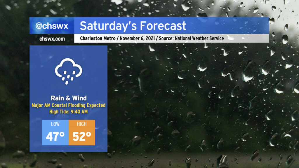
Coastal storm to make a mess of Saturday with tidal flooding, gusty winds, and heavy rain

Saturday’s gonna be a meteorological mess, it appears. A coastal storm, which has been trending more westward in modeling, is expected to develop tonight and move parallel to the coast during the day Saturday. This is going to bring the potential for periods of heavy rain, gusty winds (with gusts 30-40 mph possible particularly near the coast), and a forecasted top-10 tide in Charleston Harbor during the morning hours.
High tide on Saturday morning is currently forecast to peak between 8.5-8.7′ in Charleston Harbor. This would be good enough for at least tenth on record at the harbor, and would be the highest tide since the water level reached 8.76′ on November 24, 2018. This will introduce significant salt water flooding across downtown Charleston, resulting in numerous road closures. It’s also possible that we will see road closures along Long Point Rd. in Mt. Pleasant and Harborview Rd. on James Island. The tide is forecast to peak at 9:40am, but with these events, there’s often a little lag, so it may peak later. Expect floodwater 2-3 hours either side of high tide.
Guidance continues to hit on the potential for rain to be in the area around this time of high tide, which could make the situation even more dicey. One other thing to keep in mind is that there will be a round of minor tidal flooding on Saturday evening, as well. Some simulated radar products bring some of the heaviest rain into the area Saturday afternoon, ahead of high tide. If it’s enough rain, we could be in for a long-duration flooding event. This will bear close watch throughout the day. The NWS forecast is generally for 2-3″ of rain across Charleston County, with somewhat lower amounts inland.
Finally, with the strong pressure gradient between developing low pressure to our east and high pressure to our northwest, winds will turn quite gusty at times. Gusts to 40 MPH appear possible on bridges and overpasses as well as the beaches. (It’s this strong northeast wind which will help drive water levels higher.)
Combine all this with highs in the low 50s, and well…you’ve got a perfect excuse to stay in on Saturday.