Warming back up as we head into Thanksgiving
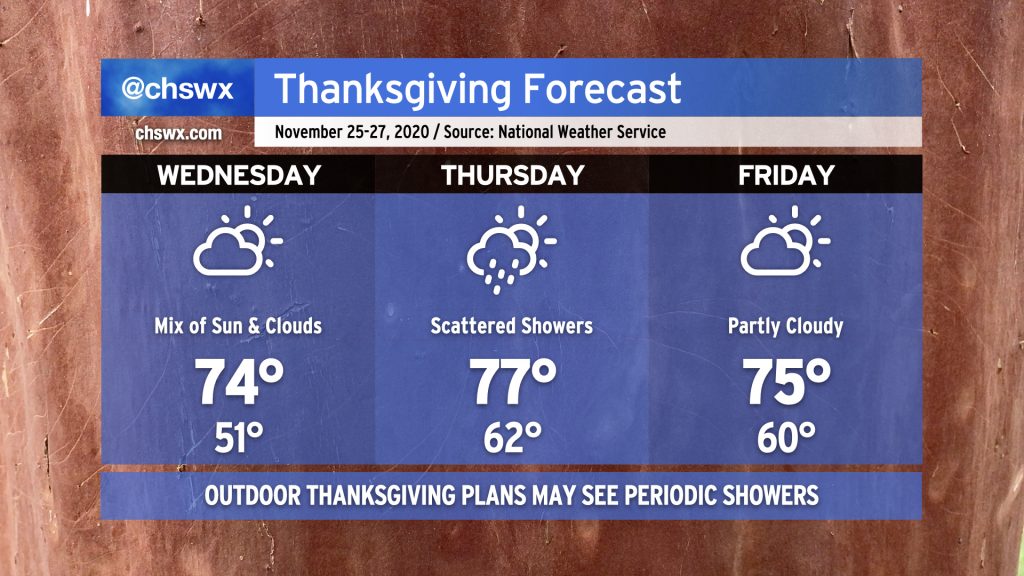
After a pretty quiet weather day with temperatures only topping out in the mid-60s, we will see a warming trend commence beginning Wednesday. Cloud cover will also increase as a storm system approaches the area for Thanksgiving. There will be a risk for isolated to scattered showers for Thanksgiving Day, but the warmth will be a little more noticeable with highs topping out in the upper 70s. A weak front will then clear the area, knocking temperatures down a little for Friday and bringing back a mix of sun and clouds. Overall, not too bad, but you will want to be ready to cover up any outdoor Thanksgiving activities just in case.
A chill in the air to start December
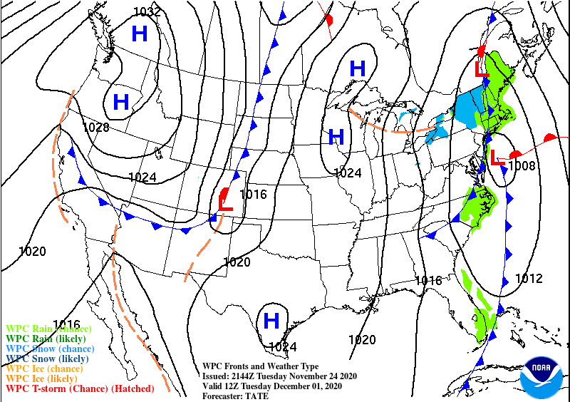
Once we get through this weekend, we’re going to be looking at quite a cooldown as we get into December. A strong cold front combined with an upper low swinging through the eastern half of the continental United States will bring quite a chill to the air as we start the new month. NWS’s first stab at a forecast high for Tuesday is 55°. This would be the coolest high of the season (right now that’s 57° on November 18) and the coolest high since we struggled to 47° on February 21. (It will still be a far cry from December 1’s record low maximum of 43°, set in 1964.)
Still some time for the details to work out, but cold weather fans should enjoy this as it appears this snap will have a little staying power (if model guidance is to be believed). Stay tuned…
Follow my Charleston Weather updates on Mastodon, Bluesky, Instagram, Facebook, or directly in a feed reader. Do you like what you see here? Please consider supporting my independent, hype-averse weather journalism and become a supporter on Patreon for a broader look at all things #chswx!