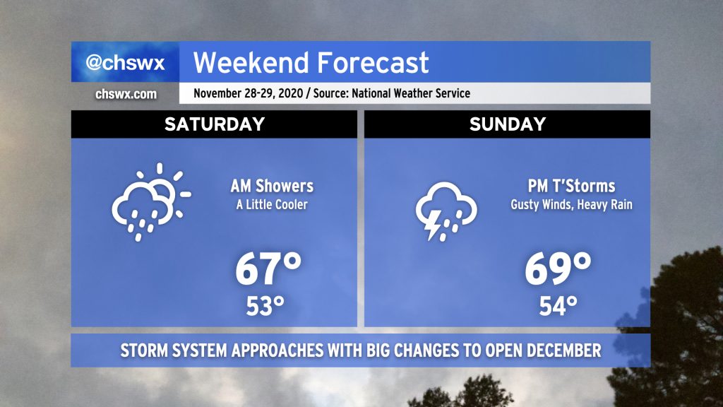
Weekend forecast: Periods of showers, maybe some strong storms Sunday night
While it’d be unfair to characterize the weekend as a washout, we do face periods of unsettled weather as a frontal boundary remains stalled to our south in Georgia and a potent storm system approaches the area from the west.
Saturday morning, expect light rain to move across the area as a wave of low pressure along the stalled front moves from west to east with a little upper-level support to boot. It’s not likely that we’ll see much more than a tenth or two of an inch of rain across the Lowcountry from this round of rain, and it should conclude by early afternoon. We should get at least a few peeks of sun before Saturday’s all said and done, and the evening will remain dry. Temperatures will run a little cooler than previous days, only topping out in the upper 60s.
Storm system to begin to affect the area Sunday, with strong thunderstorms possible
As we get into Sunday, a warm front will begin to lift north across the area, placing us in the warm sector of an upcoming storm system. Showers will begin to develop in the afternoon from south to north as this front moves toward our neck of the woods. Once we are in the warm sector, there will be a little instability and a lot of wind shear available for thunderstorms. One or two of these storms could potentially pull down some strong and potentially damaging wind gusts, perhaps prompting a warning or two late Sunday into early Monday.
After the initial band moves through the area, we’ll likely see another weakening line of showers accompany the cold frontal passage on Monday morning. By Monday evening, temperatures will really begin to cool off as the coldest airmass of the season moves into the area.
We’ll want to keep an eye on Monday’s winds, particularly around the time of frontal passage. Some of the models are spitting out some impressive gusts as high pressure builds into the area. Stay tuned.
Follow my Charleston Weather updates on Mastodon, Bluesky, Instagram, Facebook, or directly in a feed reader. Do you like what you see here? Please consider supporting my independent, hype-averse weather journalism and become a supporter on Patreon for a broader look at all things #chswx!