Severe weather threat ends, cold front to follow
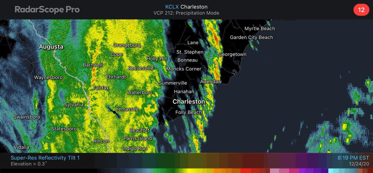
The primary squall line has moved out of the area, with more rain moving back in behind it as the cold front approaches. Said front is moving through the Midlands now and is approaching I-95.
Strong wind gusts can be expected as the front passes through, then the bottom falls out of the thermometer as cold air rushes into the area. We will start the day very near, if not below, freezing away from the coast. Things should dry out fast enough where ice won’t be a concern in much of the Tri-County, but it can’t be totally ruled out near I-95.
Tomorrow will warm only into the low 40s with strong cold advection continuing throughout the day.