The primary squall line has moved out of the area, with more rain moving back in behind it as the cold front approaches. Said front is moving through the Midlands now and is approaching I-95.
Strong wind gusts can be expected as the front passes through, then the bottom falls out of the thermometer as cold air rushes into the area. We will start the day very near, if not below, freezing away from the coast. Things should dry out fast enough where ice won’t be a concern in much of the Tri-County, but it can’t be totally ruled out near I-95.
Tomorrow will warm only into the low 40s with strong cold advection continuing throughout the day.
A broken squall line is moving into the Tri-County now. This squall line will be capable of 50 MPH wind gusts with some pockets of stronger, damaging winds. Kinks along the edge of the line may produce brief tornadoes; a tornado warning was in effect earlier in Hampton and Colleton counties with some indication of debris as the tornado moved over Luray.
There is enough instability available for additional episodes of severe weather over the next hour or so. Once the initial squall line passes — and it’ll be fast as it’s moving to the east/northeast at 45-50 MPH — rain will fill into the area with continued gusty winds. Be ready for the potential for power outages — charge devices now and have flashlights on standby.
The cold front is moving into South Carolina now. As the front moves through, expect a sharp wind shift and an additional round of strong, gusty winds as precipitation ends. Cold air will quickly follow.
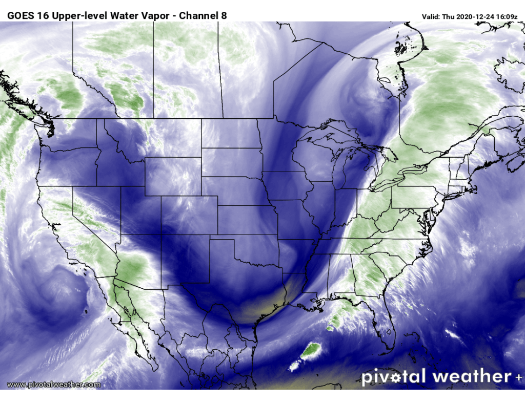
Water vapor imagery from GOES-16 shows the deep trough digging into the eastern half of the country, which will drive our weather this afternoon and evening.
We in #chswx continue to monitor the risk for strong to severe thunderstorms this afternoon and evening as a strong cold front driven by a highly amplified upper-air pattern makes its way to the coast.