A few showers to close out 2020

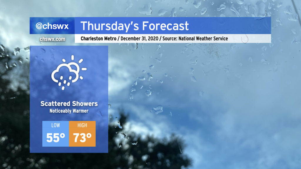
We’ll say goodbye to 2020 with quite a few choice words, warm temperatures, and perhaps a few showers mixed in at times. Showers will be possible at any point during the day Thursday, including up to midnight, so keep rain gear close if you are out and about.
Temperatures will turn noticeably warmer, with highs recovering into the 70s as we enter the warm sector ahead of our next storm system, which will hang around for a few days before clearing the area Sunday.
Monitoring Friday’s severe weather threat

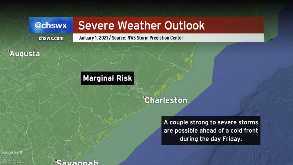
We in #chswx continue to watch Friday for a couple storms turning strong and potentially severe in the afternoon and evening as a cold front advances on the area.
The Storm Prediction Center did back down to a marginal risk with this morning’s outlook, owing to a continued westward trend in the models that brings the cold front into the area a bit later Friday night into Saturday morning, missing out on what instability may be available as a result. However, details such as the placement and sharpness of a warm front across the Carolinas will be important, as any discrete storms that get going near this front could begin to rotate thanks to enhanced low-level wind shear. Models are still somewhat far apart on this key detail, but fortunately we will have several more high-resolution datasets to compare during the day tomorrow.
Continue to keep up with forecast updates as the details become more fine-tuned. Right now, though, a major severe weather event does not look like it’s in the cards, which is good considering we want 2021 to get off on the right foot.
Follow my Charleston Weather updates on Mastodon, Bluesky, Instagram, Facebook, or directly in a feed reader. Do you like what you see here? Please consider supporting my independent, hype-averse weather journalism and become a supporter on Patreon for a broader look at all things #chswx!