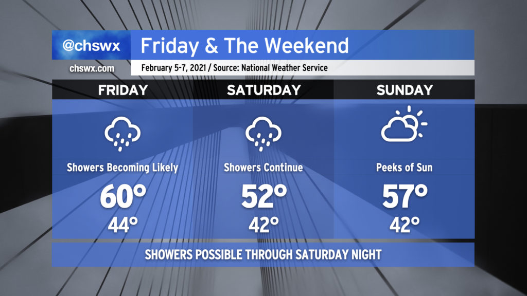
Periods of showers to close the work week and start the weekend

After a few chilly but dry days, the rain’s back in the weather picture for Friday ahead of a cold front. It’ll be a little warmer with highs around 60° mid-afternoon before the front gets through. Rain chances decrease some for Saturday morning, but then ramp back up as more upper-level energy and surface low pressure approach the area. Saturday will be on the chilly side with highs just topping out in the low 50s. High pressure returns for Sunday. Clouds will hang around but there should be some peeks of sun as well, and that will help us warm a little into the mid-50s.