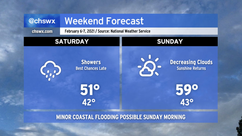
More rain for Saturday, but Sunday promises improvement

Showers, overcast, and chilly temperatures will continue on Saturday. The best rain chances will come in the afternoon into Saturday night as some upper-level energy and a surface low pressure system traverse the area. The weather improves Sunday as low pressure moves away from the area, yielding to high pressure building back into the area from the northwest. Cloud cover will scour out, allowing temperatures to rise into the mid-to-upper 50s across the area with ample sunshine throughout the day, giving you a great excuse to skip the 12 hours of Super Bowl pregame shows and get outside for a bit.
There will be an outside shot at some minor coastal flooding very early Sunday morning (high tide ~4:01am) as low pressure deepens off the coast. The current tide forecast peaks around 6.9’, which could be just enough to put some salt water on Hagood Ave. at Fishburne. Given the early hour on a weekend, it should not have major impacts on travel. We remain at five total coastal flooding events (tide levels at or above 7.0’ mean lower low water) so far in 2021.