Rain’s back with another storm chance for Thursday
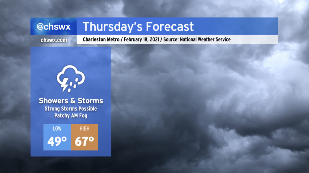
We’re back into the rain on Thursday as another storm system affects the area. Expect periods of showers and storms at any time throughout the day, and be ready for the potential for a couple storms to be strong.
Watching another warm front for strong to severe thunderstorms
Much like Monday, we’ll be keeping an eye on the position of a warm front as low pressure lifts northeast from the Gulf through Georgia and the Carolinas during the day tomorrow. Also, much like Monday, we find ourselves within a cold air damming regime (the wedge!) that model guidance is struggling to resolve. The timing of the warm front and how far inland it can erode the wedge will govern the severe weather threat during the day Thursday. An earlier warm frontal passage gives the atmosphere more time to recover and destabilize, and we’ll want to watch the area where it sets up carefully as any storms near the boundary could begin to rotate. There will be an ample amount of wind shear to keep updrafts going, and it may be enough to offset the relatively low instability. This is a common severe weather forecast problem in the Southeast during the cool season — a classic high-shear, low CAPE (convective available potential energy) scenario.
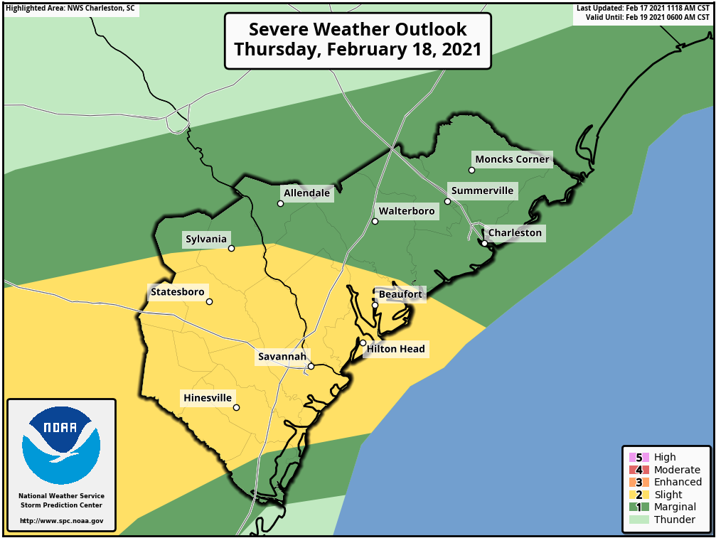
Right now, the Storm Prediction Center has the Charleston area in its marginal risk of severe storms (level 1 out of 5), owing to the great uncertainty with the combination of ingredients. It does appear that a pre-frontal line of storms will be arriving in the area by evening, but it is unclear what kind of environment it will be running into by the time it gets here. The greater severe weather threat will be found across southern Georgia into the ACE Basin of SC, where better instability will be found to coincide with low pressure and its trailing surface cold front.
The main concern for any severe weather in the Lowcountry would be isolated damaging wind gusts, but as mentioned before, storms that interact with the warm front could begin to rotate, and a tornado is not totally out of the question. To be safe, be sure you have a couple reliable ways to receive weather warnings. NOAA Weather Radio is the gold standard. On smartphones, the local news outlets’ weather apps do a fine job of alerting you to hazardous weather based on your location.
The sun will return
Rain looks to continue overnight Thursday into Friday morning, but we should begin to see clearing develop by Friday afternoon. We’ll have a mostly sunny but crisp weekend ahead; temperatures may not get out of the 40s on Saturday despite full sunshine, and we will run just a hair warmer on Sunday. The sun will be out, though, and that’s been a pretty rare sight this month. We will take what we can get!
Follow my Charleston Weather updates on Mastodon, Bluesky, Instagram, Facebook, or directly in a feed reader. Do you like what you see here? Please consider supporting my independent, hype-averse weather journalism and become a supporter on Patreon for a broader look at all things #chswx!