Midday update: Severe threat diminishes as the wedge wins out
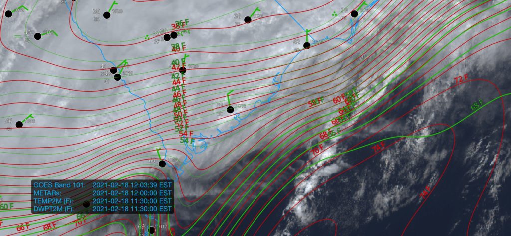
We’re once again in the gloom with periods of heavy rain moving through the area this afternoon. This is good, though, as these clouds and rain are reinforcing the inland cold air damming wedge which, in turn, is keeping a warm front from advancing too far north into the Lowcountry. All this to say that the severe weather threat, which was never terribly high in the Charleston metro to begin with, remains rather marginal. If the warm front does sneak a little further north than projected, the risk for damaging wind gusts would come up some. The best risk for any severe storms today remains southwest of us in Georgia.
The main issue today, especially inland of 17-A, will be the potential for flooding in spots. Some areas have already received 2-3” of rain in the I-95 corridor with more to come through tomorrow. Closer to the coast, the forecast continues to call for 1-2” through tomorrow with locally higher amounts.
As always, I’ve got an eye on it. Keep an ear out in case conditions change quickly, but so far, so good.