Warmest weekend so far in 2021 coming up
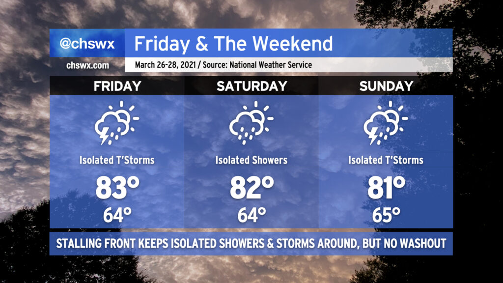
This weekend is going to have quite a summer-like feel to it with highs in the 80s and a slight chance of showers and storms each afternoon.
A cold front will be weakening and stalling out across the area Friday into Saturday. The front, a remnant of the strong storm system that is responsible for a severe weather outbreak in the mid-South today, will not be able to overcome the ridging aloft and strong surface high pressure. However, a few storms will be possible on Friday with the potential for one or two of them to produce damaging wind gusts and large hail. Widespread severe weather is not anticipated, though.
Getting into Saturday, we see the stalled front still in the area, perhaps acting as a focal point to kick off a few showers or storms. Otherwise, the story will be the warmth — lows in the mid-60s will continue to flirt with record high minimums, and highs in the low to mid-80s appear common, with potentially higher temperatures inland.
Another cold front will backdoor into the area from the north on Sunday. A few showers and thunderstorms will once again be possible ahead of said front, and a couple of those might err on the strong side, but once again widespread severe weather does not appear to be in the cards. This front will actually make it through the area, though, and by Monday, temperatures will be 10-15° cooler as high pressure wedges in from the northeast.