Cooling off as Wednesday wears on with rain in the area
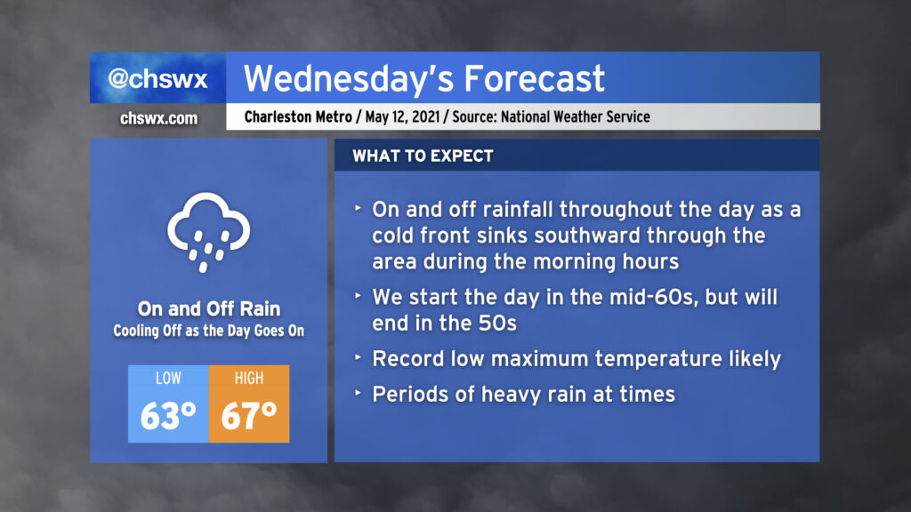
We will start Wednesday in the low to mid-60s across the area with showers and maybe a thunderstorm or two ahead of a cold front. Said front will sink southward through the area during the morning, and we will cool off as the day goes on. Expect our high in the mid-60s to be recorded before noon, with temperatures falling into the 50s during the afternoon and evening hours. Rain will be off and on throughout the day, so just be prepared with the rain gear as needed. (You might want to go with something fleece-lined.) Models suggest we may see a little break in the rain as we get into the evening hours once low pressure develops offshore and heads away, which may not be the worst thing for the commute home.
It looks like we will set a new record low maximum temperature on Wednesday. The current coldest high recorded at the airport on May 12 is 69° set in 1963. The current forecast high of 67° will clear that bar fairly comfortably. All will hinge on how quickly the cold front can get through the area during Wednesday morning.