Wedge keeps chilly weather and showers in play for Thursday
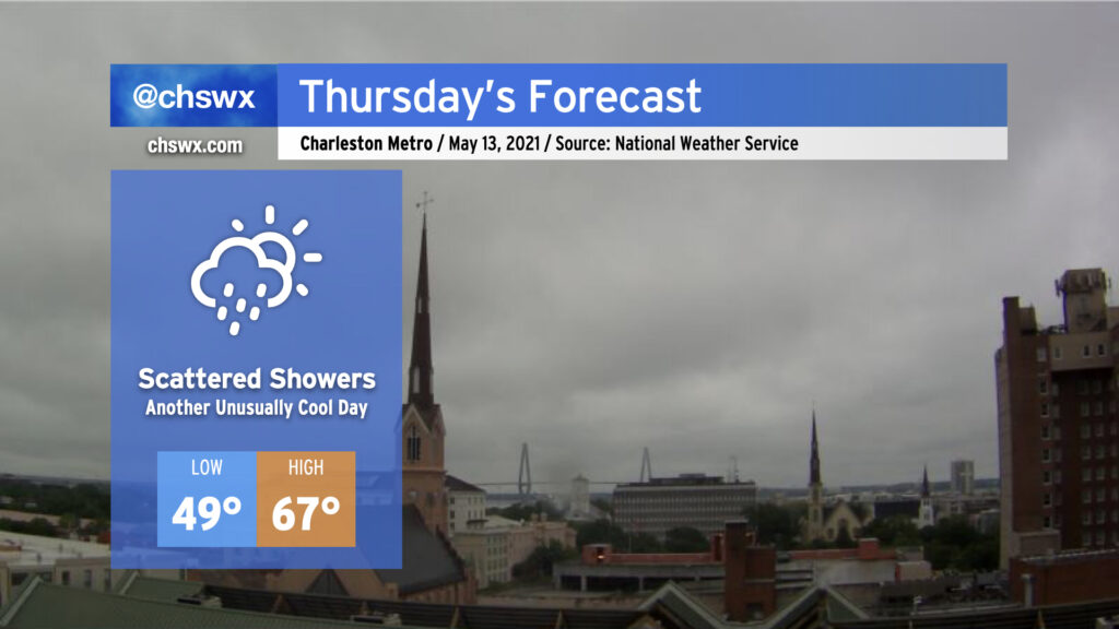
A late-season cold air damming wedge will remain in place on Thursday, keeping temperatures well below normal for mid-May and shower chances in place as low pressure develops off the Florida and Georgia coasts. We’ll start the day in the upper 40s to around 50° with highs — provided the wedge scours away a bit — topping out in the mid-60s. That may be generous, though. Breezy northeast winds will continue within the wedge throughout the day with persistent cloud cover. There’s a chance we could see some breaks in the clouds later in the evening, but that’s somewhat up in the air based on how much moisture could be trapped within the wedge.
As mentioned before, scattered showers look probable, with even some drizzle possible especially if the wedge remains entrenched. Suspect that the best rain chances are going to be closer to the coast and will be greatest in the morning. As low pressure pulls away, drier air will punch into the area, but it may take time to erode the layer of overcast just off the surface.
Fortunately, this will be relatively short-lived — clouds will begin to break on Friday, and by the weekend we’ll see mostly sunny skies and temperatures in the mid-to-upper 70s. Hang in there!