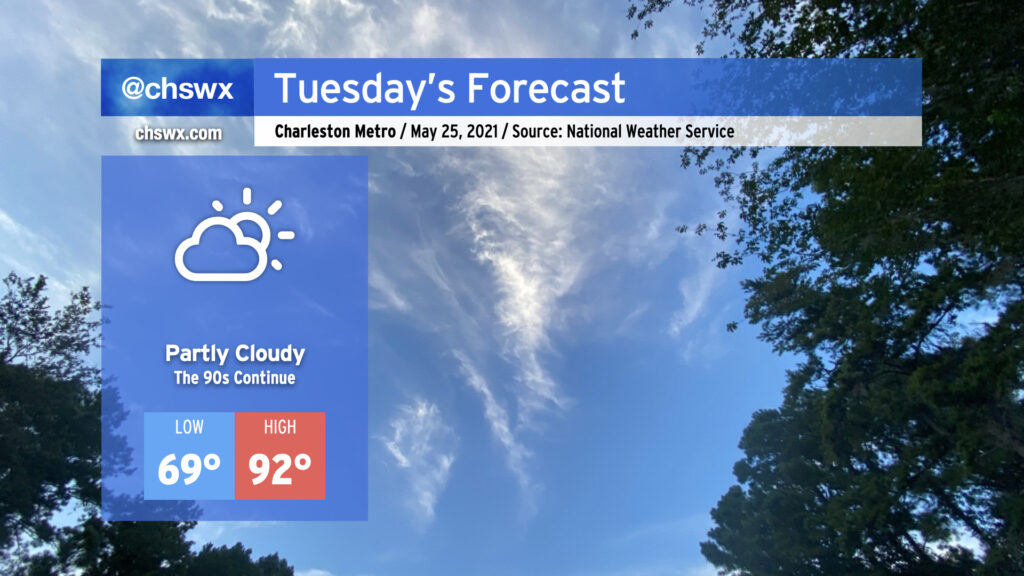
The 90s continue for Tuesday and beyond

After topping out at 94° today to mark the hottest day of 2021 so far, we return to the 90s tomorrow as the stacked high pressure pattern remains in place. If you’re looking for rain, you’re not going to find it with the ridge keeping a lid on any deep convection. Humidity remains tolerable, so heat indices will not get too far out of bounds (though there may be a brief spike as the seabreeze pushes inland). That being said, low-to-mid-90s are still plenty toasty, so find shade when you can if you’re outdoors.
We stay in the 90s for the rest of the week, with temperatures turning hotter as we get into Thursday and Friday. Humidity will also be creeping up as high pressure slides offshore, bringing winds out of the southwest and pumping in 70°+ dewpoint air. Our next rain chances kick in over the weekend as a front gets close to the area.