Heavy rain, strong storms possible on the south flank of Claudette today
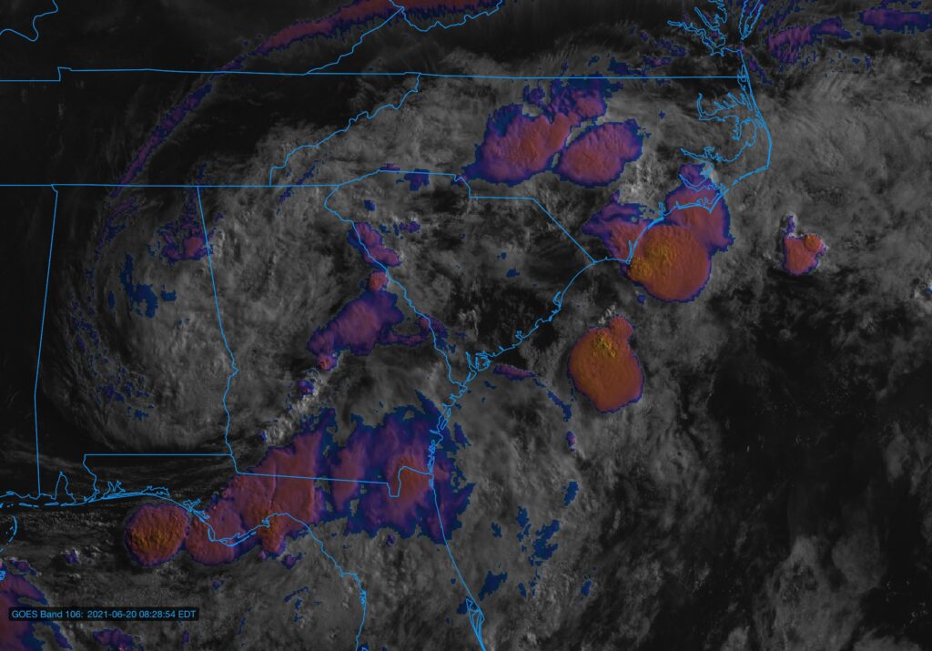
We will be watching the weather closely today as showers and thunderstorms develop and move across the Tri-County area on the southern flank of Tropical Depression Claudette. Heavy rain, damaging wind gusts, and even a tornado or two are all on the table. A Flash Flood Watch is in effect until 8am Monday, and it is conceivable that a tornado watch will be needed later today.
Stage is set for heavy rain, strong wind gusts, possible severe weather
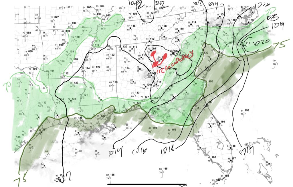
My surface analysis from the 8am observations calls out a sharp plume of very humid air characterized by dewpoints 75°+ across much of the Tri-County area. This, combined with some surface heating from breaks in the cloud cover this morning, is allowing for destabilization to develop across the area.
The analysis places Tropical Depression Claudette’s center of circulation very near Atlanta. It will pivot more eastward as the day goes on, moving across the Midlands and likely dragging several feeder bands of rain with it. Within these bands, heavy rain and gusty winds are likely. Winds about 2,000 feet up will strengthen as the day goes on, and as storms mix into this layer, they will be able to pull down strong wind gusts. Given favorable shear generated by this low-level jet, we could see brief tornadoes develop as well. The Storm Prediction Center is monitoring the area for a tornado watch later today.
Flash Flood Watch in effect
A Flash Flood Watch is in effect through 8am Monday across the entire Lowcountry. We are no stranger to quick downpours causing problems as of late, and as such, we are going to struggle a bit to take on too much more tropical rainfall. The 4:55 PM high tide will be of particular interest, as any substantial rainfall in downtown Charleston a few hours ahead of and around this time could portend another flooding episode. The flood threat is not contained to downtown, either — we have all seen quite a bit of rain lately, and additional trouble spots such as Summerville, the Otranto area in North Charleston, and areas around the old Navy Base (to name a few) could become problematic as well.
Remember, when you encounter a flooded road, do the smart thing — turn around, don’t drown! There were 28 water rescues from last week’s flooding episode, and we really don’t want a repeat of that.
What to do
The best thing you can do today is to just keep an ear out to the weather as you commemorate Father’s Day (or just regular old Sunday). Have a couple reliable ways to receive watches and warnings, including NOAA Weather Radio and local news smartphone apps just to name a couple. Not everyone will see severe weather today, but if you do, you’ll be glad you got the warning.
I’ll have updates here and on Twitter as needed.