Heavy rain moves through the Charleston Metro Area.
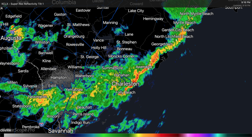
As of about 9PM, Claudette’s center was moving eastward across northern parts of South Carolina. The exact center fix is a little murky, but radar suggests that as of this writing it is roughly riding the SC/NC border around Chesterfield County, SC. The leading edge of Claudette’s primary rain band has cleared downtown Charleston and is headed offshore, with light to moderate rain behind it. This rain band appears to have cleared downtown with relatively little fanfare, but winds have been gusting quite a bit, with a recent gust to 62 MPH recorded at the Isle of Palms WeatherFlow station.
Light to moderate rains look to continue for the next few hours as the primary rain band swings through the area. It appears that there could be additional showers and thunderstorms behind it; these are moving southeastward out of Augusta and could swing around into the Tri-County before it’s all said and done. A Flash Flood Watch continues across the Charleston Metro Area effective until 8am Monday, though this may yet be canceled early once this band lifts out.
The risk for severe weather (particularly the tornado threat) has ended across our area at this point. With the center directly to the north, surface winds coming out of the west lowering shear, and instability having been sapped by the rain band, the environment is not really conducive to tornado formation anymore. We caught a break with this today, especially considering the ample sunshine we saw for a good bit of the day to aid destabilization. Still, straight-line gusts of 40-50 MPH across saturated grounds could still be sufficient for downed trees and power lines, so keep flashlights nearby in case of power outages.
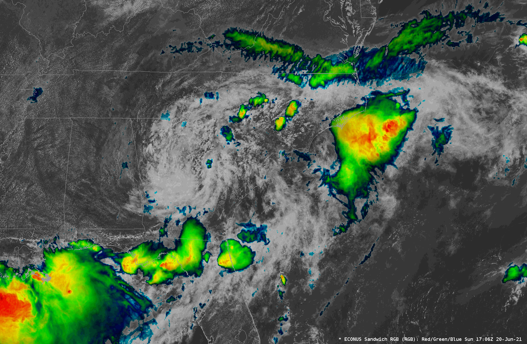
We continue to watch Tropical Depression Claudette’s circulation move through northern Georgia into the Upstate and Midlands of South Carolina this afternoon. NHC’s last fix at 2PM had it roughly around Athens, GA, heading east at 17 MPH. So far, a few spots have seen some brief rainfall, but we have been largely within a dry slot surrounding the inner bands of the circulation. Indeed, it appears that moisture inflow may have been disrupted in part due to vigorous thunderstorms along the Gulf Coast — a common occurrence for choking off more widespread rainfall in our neck of the woods. However, we continue to watch a decent rain band stretching from roughly Mt. Vernon, GA up toward Augusta. This band is steadily making eastward progress, and satellite data suggests it could be becoming a little more vigorous as it moves eastward into a more unstable atmosphere.
A blend of timing tools and model guidance puts this rain band in the Charleston Tri-County area roughly in the 4-6 PM timeframe. It will undoubtedly bring the greatest risk for very heavy rainfall, with models suggesting 1-2″ of rain will be common. 3″+ cannot be ruled out in some spots, either, and wherever this heaviest rain falls could be in line for flooding issues.
High tide is at 4:55 PM. Right now, it appears that the heaviest rain will arrive about an hour or two afterward, but trends will need close monitoring. I would still be prepared for flooding this evening in downtown Charleston.
We’ve had gusty winds in the area thanks to a strong low-level jet — a gust to 32 MPH was recently recorded at Charleston International Airport. Guidance suggests the core of the low-level jet looks to move atop the SC coastline around the time the rain band is moving in, so that could increase the risk for a damaging wind gust or two. This strengthening low-level jet will also assist in creating favorable conditions for a tornado or two, so we’ll want to monitor these trends as we go throughout the day.
Stay weather aware — more updates here and on Twitter as needed.
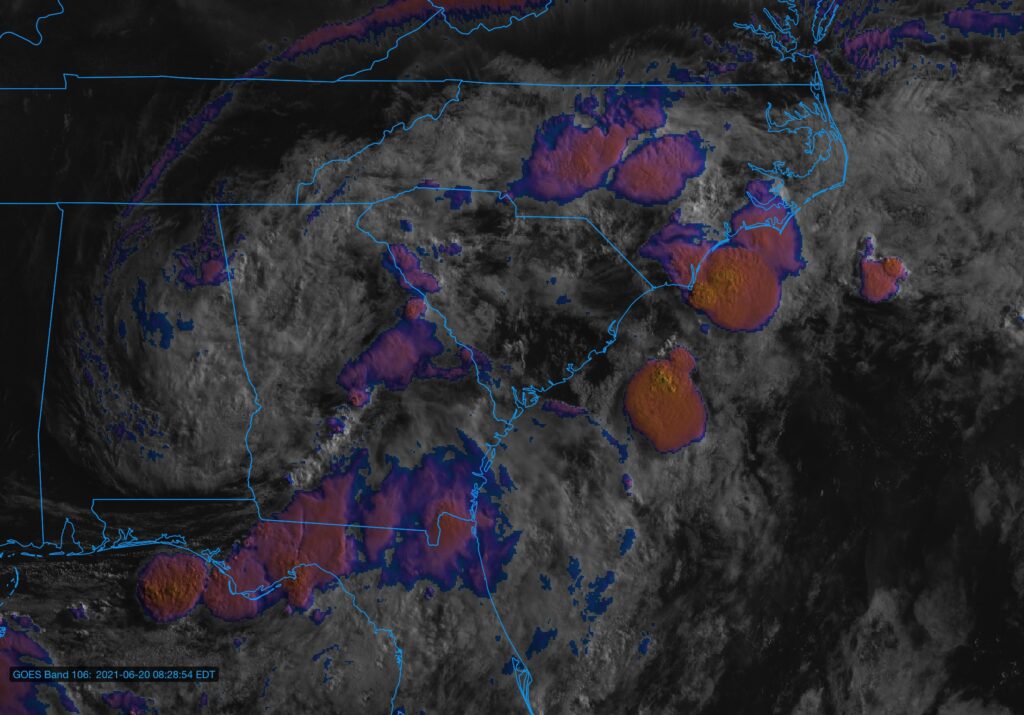
Visible/IR composite of Tropical Depression Claudette as of ~8:30am.
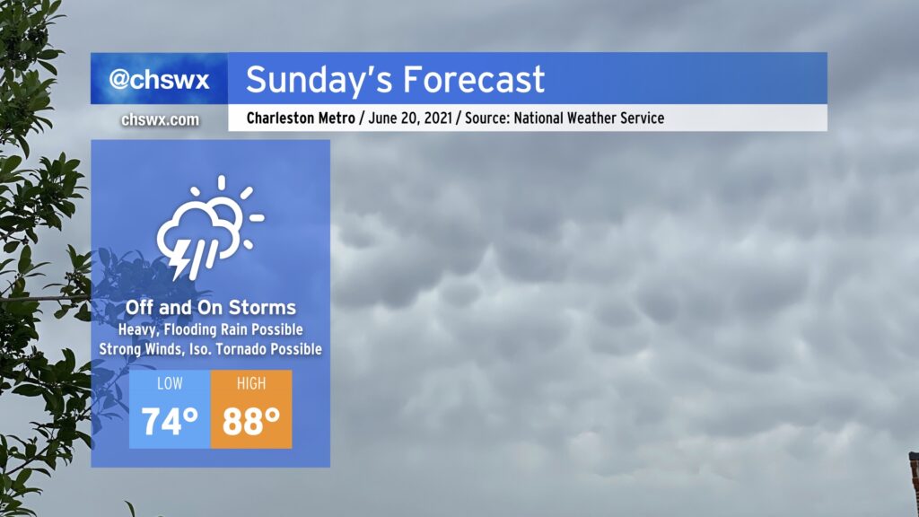
We will be watching the weather closely today as showers and thunderstorms develop and move across the Tri-County area on the southern flank of Tropical Depression Claudette. Heavy rain, damaging wind gusts, and even a tornado or two are all on the table. A Flash Flood Watch is in effect until 8am Monday, and it is conceivable that a tornado watch will be needed later today.
Tropical Depression Claudette, which is moving through western Alabama this evening, will be taking a bit more of an easterly turn around the subtropical ridge, heading through northern Georgia and SC during the day on Sunday. This will, in turn, bring along another plume of tropical moisture into the area, setting up another round of heavy and perhaps flooding rain in spots, along with the risk for strong to severe thunderstorms with damaging wind gusts and maybe a tornado or two.
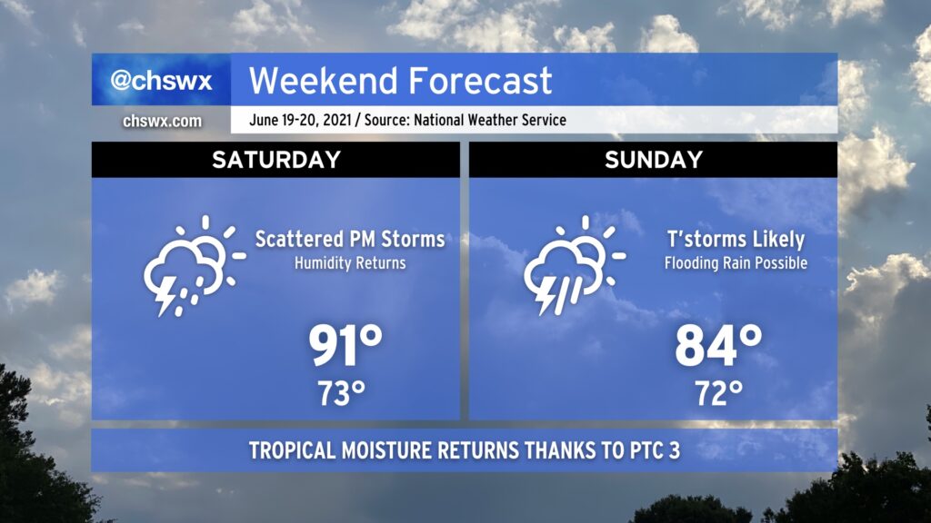
It’s been a great couple days of weather in the Lowcountry, but the remnants of Potential Tropical Cyclone Three look to bring unsettled weather back beginning Saturday afternoon.