Thunderstorms becoming numerous through this evening
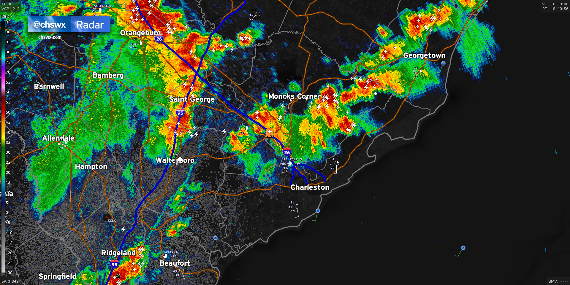
Radar is active this afternoon with two distinct areas of thunderstorms that look to merge over the next hour, potentially bringing storms further eastward toward the coast this evening. The first area is situated across the inland-moving seabreeze, which roughly sets from Ridgeville through Moncks Corner to Jamestown. Along this line, we’ve seen hail to the size of pennies reported in Summerville with a risk of strong wind gusts approaching 55 MPH. The second area to watch is coming in from the west, aided by a mid-level impulse and riding a fairly potent outflow boundary. This outflow boundary looks to collide with the seabreeze over the next hour, sparking up additional thunderstorms especially to the southwest of the area and across the Santee Cooper lakes. Damaging wind gusts and large hail can’t be ruled out as the two boundaries collide. The resulting thunderstorm complex should continue to head eastward as the afternoon goes on, with thunderstorms likely reaching the coast by early evening.
Remember: When thunder roars, go indoors! Every thunderstorm is dangerous due to the lightning it produces.