Friday and the weekend: Drier with the right amount of July heat
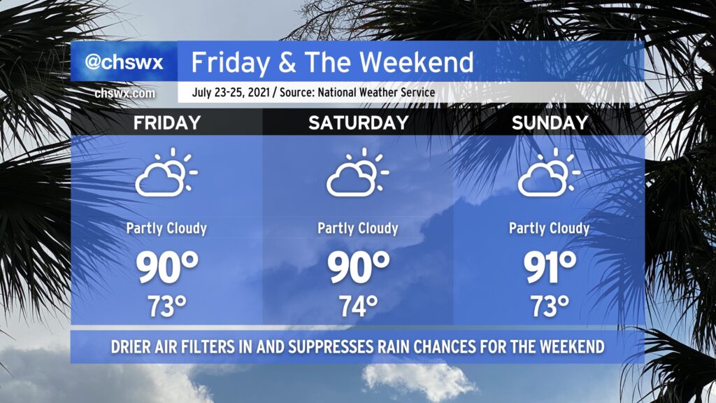
After another day of very heavy rain in the Charleston metro area — this time in West Ashley — we mercifully get Friday and the weekend to dry out a little bit as a front sags south of the area, turning winds to the east and northeast. This will keep temperatures right around, if not slightly below, late July normals. Heat indices will even be reasonably in check — upper 90s on Friday, but down to the mid-90s for Saturday and Sunday.
With the drier air comes a little less cloud cover and far lower shower and thunderstorm chances (though I suppose you can never totally rule out an afternoon shower or storm in late July). Wildfire smoke transported all the way from the western U.S. looks to filter into the area starting tonight and will last for the next few days. This will make for some interesting sunrises and sunsets. It doesn’t look like this smoke will be close enough to the ground to cause any major air quality impacts, at least right now. We’ll keep an eye on this in case it changes, but for now, good air quality is in the forecast for Friday.
We’ll also want to keep an eye on the risk for salt water flooding with the evening high tides this weekend. Onshore flow will combine with astronomical influences to produce a few rounds of sunny-day flooding through at least Sunday. Be ready for coastal flood advisories and possibly some closed roads due to salt water on the roads. Fortunately, we don’t look to have much if any rain on top, mitigating a more serious flooding issue.
All in all, it’ll be a pretty good July weekend — I hope you can take advantage.