Hot and occasionally stormy weekend ahead
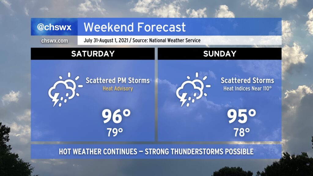
We will continue our string of hot days this weekend as we remain under mostly westerly flow at the surface and aloft. A cold front will be closer to the area, though, and this along with some upper-level energy will instigate a few more showers and thunderstorms starting Saturday afternoon. A few of these storms could turn severe with damaging wind gusts the primary concern; locally heavy rain and lightning will also certainly factor in. Shower and thunderstorm chances continue into Sunday, though it won’t rain all day.
Heat and humidity will continue to combine for heat indices around 110° on Saturday and perhaps approaching that number again on Sunday. A heat advisory is in effect for Saturday afternoon as a result; you’ll once again want to take heat safety precautions if you must be outside.
The heat will back off Monday, but at the cost of the resurgent potential for isolated flooding rainfall as deeper moisture and upper-level features become favorable once again for very heavy rainfall.