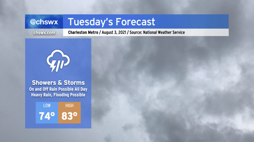
No getting around it: Showers and thunderstorms for Tuesday

A soggy pattern takes shape beginning Tuesday as a stalled front and an open pump of Gulf of Mexico moisture combine to produce widespread showers and thunderstorms. It won’t rain all of the time all day — will generally be on-and-off — but keep the rain gear handy regardless as when it does rain, it could rain pretty heavily. Some guidance is pointing to a particularly heavy slug of rain coming through starting tomorrow afternoon into the evening hours, which is certainly worth monitoring for the evening commute. Flooding is certainly a concern, and trends will be monitored appropriately, especially as high tide comes up at 5:06 PM.
Temperatures will be kept handily in check thanks to the rainfall. NWS has a high of 83° at best across the area. Depending on how “on” the rain ends up being, it’s conceivable we might not make it out of the 70s. Quite a contrast to last week, that’s for sure.
Stay abreast to forecast updates on Tuesday and throughout the week as we keep close watch on the potential for flooding rain.