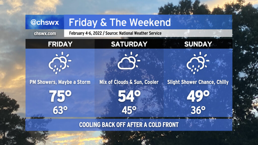
Friday & the weekend: Cooling back off post-frontal passage

Our spring preview has one more day to go before a cold front comes through later Friday and knocks temperatures down quite a bit for Saturday. We’ll see rain chances head up as we head into Friday afternoon and evening, with even a chance for a rumble of thunder or two. Instability will be lacking, but the shear should be enough to support a couple thunderstorms. It won’t rain all day, though, with the best chances around dinnertime.
We turn much cooler Saturday in the wake of said cold front. We’ll see a brief round of clearing on Saturday before a coastal low develops near Florida and heads northeastward, helping to drive a wedge of cooler air southward and keeping a shower chance around near the coast for much of the day. (That being said, it will not rain all day at any one location, either!) Temperatures may not get out of the upper 40s on Sunday. The good news? No sub-freezing temperatures are in the forecast, thus there are no winter weather concerns.
Despite winds going back around to the northeast later Saturday into Sunday, we’re far enough removed from the perigean spring tide where coastal flooding doesn’t look to be a concern for the weekend. It’s been an active year for coastal flooding already, with 11 events in 2022 so far, and we’re just into February 3rd. This already beats 1998’s total of ten coastal flooding events in that year’s first two months.