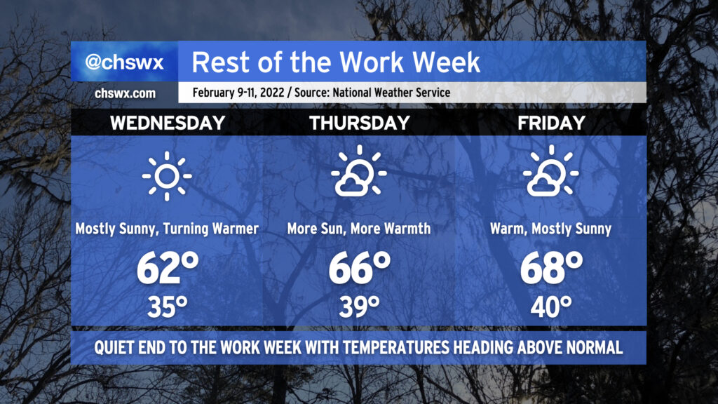
Rest of the work week: Quiet, warming up

After a couple really dreary days across the Lowcountry, we will finish the balance of the work week with much more sunshine as high pressure builds into the area from the southwest. This’ll not only help clear us out, but the westerly winds will help temperatures moderate as well, with temperatures heading a few degrees above normal to close out the week.
Wednesday may start with some patches of dense fog across the area, with a better risk of fog found inland of 17-A. We’ll want to watch surface temperatures closely, as some spots well inland could be at risk of some freezing fog overnight into tomorrow morning, potentially producing some slick spots on bridges and overpasses near the I-95 corridor. This does not appear to be a concern for Charleston proper, though. If they do form, any slick spots will not last terribly long after sunrise as temperatures quickly head into the 50s before peaking in the low 60s in the afternoon.
From there, the airmass will continue to moderate, allowing for highs in the mid-60s on Thursday and the upper 60s on Friday under mostly sunny skies. We’ll start those days generally around 40°, too, which is right around normal for this point in the year. All in all, not too shabby to close out the work week. Looks like we get Saturday in rain-free, too, but with a few more clouds before rain chances kick back up Sunday as a frontal system moves by.