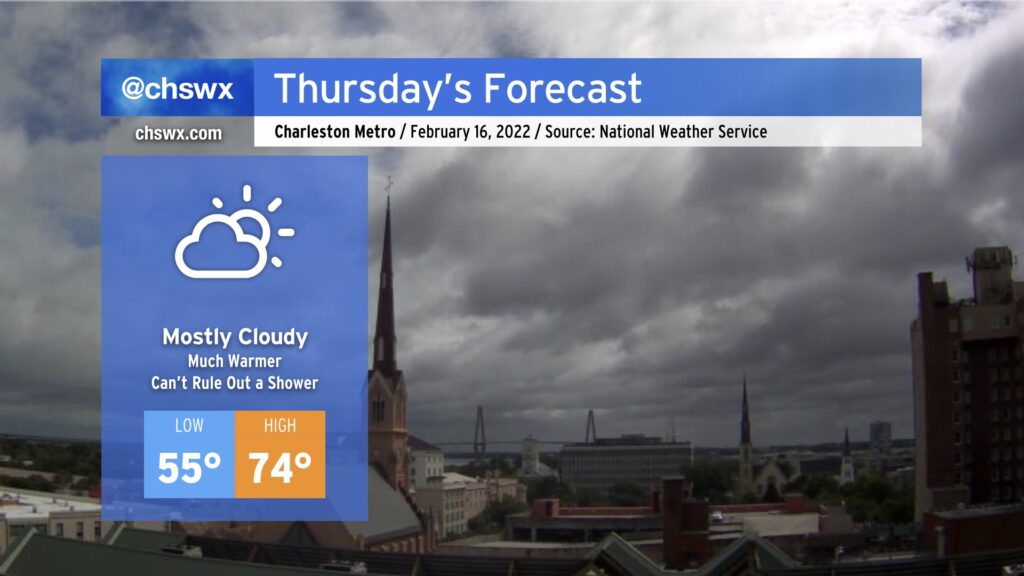
Mostly cloudy and much warmer Thursday ahead of a front

After an unexpectedly wet Wednesday — the product of strong convergence within a moist onshore flow — we’ll turn warmer for Thursday as winds go southerly ahead of the front. Temperatures in the mid-70s appear likely by the afternoon despite mostly cloudy skies. A shower or two can’t be totally ruled out, but the feature that brought us the rain today will not be in place tomorrow.
As the front gets closer later Thursday evening, shower chances will begin to head back up from the west, with the best chances of rain generally around and after midnight into Friday. A rumble of thunder can’t be totally ruled out, but severe weather is currently not expected.
The front gets through Friday with additional showers and maybe a thunderstorm. We then cool off for the weekend, with temperatures returning closer to normal values (low-mid 60s) for this time of year.