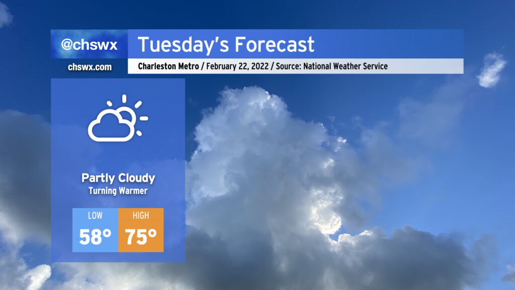
Tuesday: Continuing to turn warmer

Atlantic high pressure remains the main weather feature as we head into Tuesday. This will keep partly cloudy skies in the forecast and allow temperatures to warm well into the 70s in the afternoon. Temperatures will really begin to ramp up starting Wednesday as a cold front stalls nearby, with highs in the 80s expected Wednesday-Friday before the front gets through and cools things right back off for the weekend.
After the possibility of a few showers tonight, we’ll maintain rain-free conditions through at least Friday if not Saturday before the pattern turns cooler and more unsettled as we start to get into next week.