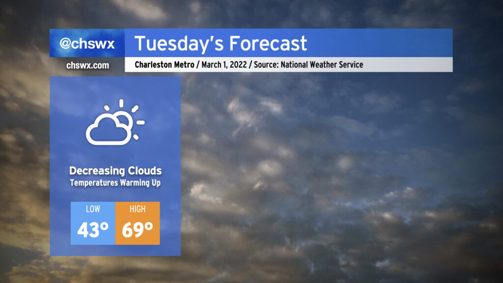
Temperatures warming nicely for Tuesday as cloud cover decreases

Tuesday looks to be a rather nice day across the area as early cloud cover moves away in the afternoon, yielding temperatures in the upper 60s to around 70° as more sunshine begins to filter in. High pressure will be building in and taking residence over the area for several days, which will keep fair and increasingly warm weather in the forecast as we kick off meteorological spring, which runs from March 1 to May 31.
The only weather-ish concern will be the risk for some minor coastal flooding with the ~7am high tide Tuesday. Water levels could peak around 7.0-7.2′, putting some salt water on vulnerable roadways particularly on the western side of the peninsula near the Joe and MUSC. Any flooding should be relatively short-lived, and with winds shifting offshore after tomorrow, the risk for coastal flooding will end just as quickly as it arrived.